Transport Functions
Multimodal
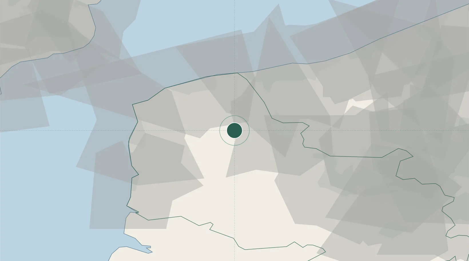
Hub Profile
Place type
Populated place
Region
Hauts-de-France
Population
296
Time zone
Europe/Paris
Elevation
176 m
Location
Nearby Logistics Neighbours
Cities
- 1Tournehem-sur-la-Hem6 km
- 2Quelmes6 km
- 3Moulle9 km
- 4Wavrans-sur-l'Aa10 km
- 5Nielles-lès-Bléquin10 km
Ports
- 1Calais28 km
- 2Gravelines28 km
- 3Boulogne-Sur-Mer32 km
- 4Dunkerque Port Est41 km
- 5Dover Harbor65 km
Airports
DatabookThe Record of Consolidated Knowledge
France beyond logistics?