Transport Functions
Multimodal
Hub Profile
Place type
Populated place
Region
Rhône-Alpes
Time zone
Europe/Paris
Elevation
249 m
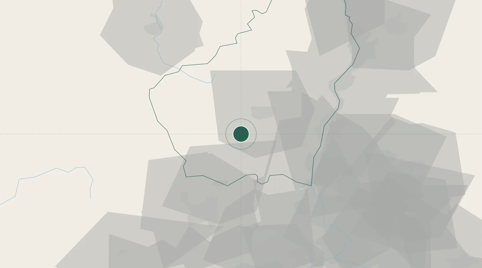
Location
Nearby Logistics Neighbours
Cities
- 1Rosières6 km
- 2Lablachère11 km
- 3Lavilledieu13 km
- 4Vesseaux13 km
- 5Vals-les-Bains14 km
Ports
- 1Fos132 km
- 2Port Saint Louis Du Rhone134 km
- 3Sete135 km
- 4Port-de-Bouc137 km
- 5Marseille159 km
Airports
Trade Zones
- 1ZFU Valence60 km
- 2ZFU Avignon76 km
- 3ZFU Nîmes79 km
- 4ZFU Saint-Etienne99 km
- 5ZFU Montpellier110 km
DatabookThe Record of Consolidated Knowledge
France beyond logistics?