Transport Functions
Multimodal
Hub Profile
Place type
Populated place
Region
Rhône-Alpes
Population
1,602
Time zone
Europe/Paris
Elevation
259 m
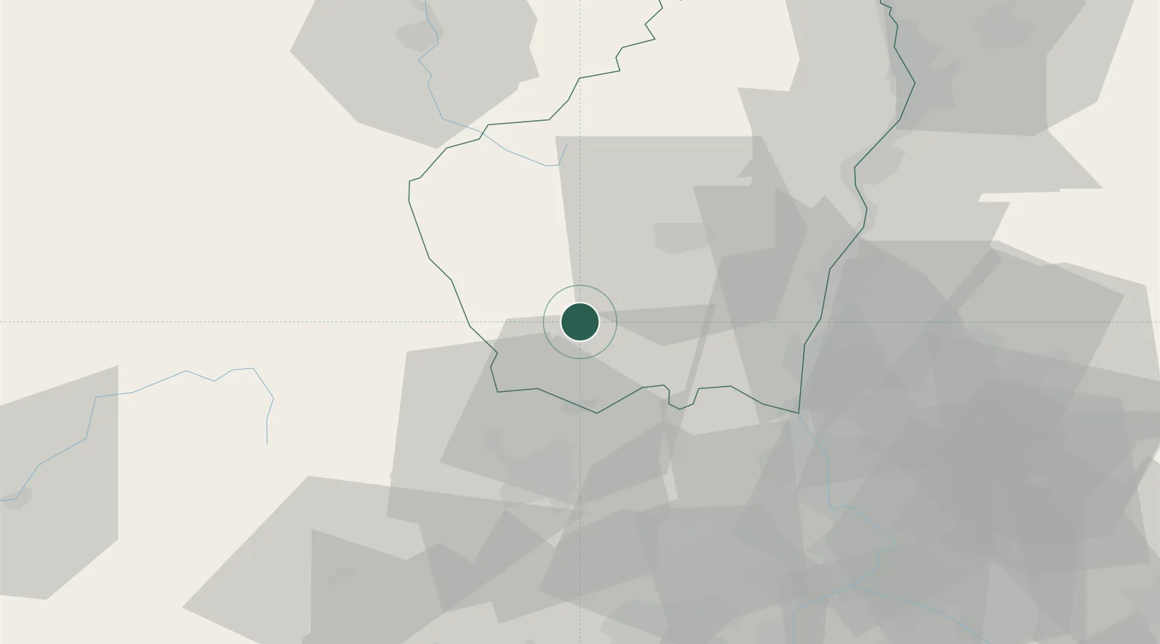
Location
Nearby Logistics Neighbours
Cities
- 1Rosières6 km
- 2Grospierres10 km
- 3Vinezac11 km
- 4Thueyts22 km
- 5Lavilledieu23 km
Ports
- 1Sete126 km
- 2Fos128 km
- 3Port Saint Louis Du Rhone130 km
- 4Port-de-Bouc134 km
- 5Marseille158 km
Airports
Trade Zones
- 1ZFU Valence71 km
- 2ZFU Nîmes72 km
- 3ZFU Avignon74 km
- 4ZFU Montpellier100 km
- 5ZFU Saint-Etienne107 km
DatabookThe Record of Consolidated Knowledge
France beyond logistics?