UN/LOCODE hub · France
FRVYY

Servigny-lès-Sainte-Barbe
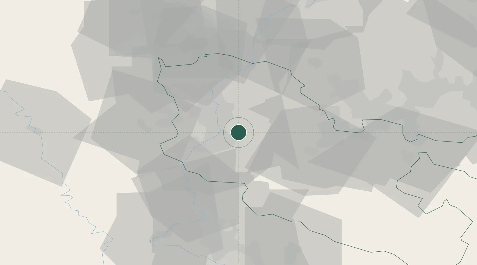
49.1500°, 6.2833°
465
Population
2
Transport functions

Transport Functions

Road
Multimodal
UN/LOCODE

Hub Profile

Place type
Populated place
GeoNames
Region
Grand Est
GeoNames
Population
465
GeoNames
Time zone
Europe/Paris
GeoNames
Elevation
261 m
GeoNames

Location

Location of FRVYY
Natural Earth 10m (public domain) · Grand Est · FRVYY · 49.15, 6.28GoogleOSMYandex

Nearby Logistics Neighbours

Cities
  1. 1La Maxe8 km
  2. 2Metz8 km
  3. 3Argancy8 km
  4. 4Peltre8 km
  5. 5Sablon9 km
Nearest neighbours — logibook spatial index (haversine) over the source coordinates
Ports
  1. 1Bruxelles236 km
  2. 2Antwerpen266 km
  3. 3Ghent280 km
  4. 4Terneuzen301 km
  5. 5Hansweert303 km
Nearest neighbours — logibook spatial index (haversine) over the source coordinates
Airports
  1. 1Metz-Nancy-Lorraine Airport19 km
  2. 2Lieutenant Étienne Mantoux Air Base45 km
  3. 3Nancy-Essey Airport51 km
  4. 4Luxembourg-Findel International Airport53 km
  5. 5Verdun-Le Rozelier Airfield59 km
Nearest neighbours — logibook spatial index (haversine) over the source coordinates
Trade Zones
  1. 1ZFU Woippy-Metz10 km
  2. 2ZFU Metz10 km
  3. 3ZFU La Cité Behren-lès-Forbach47 km
  4. 4ZFU Maxéville, Laxou, et de Nancy50 km
  5. 5Luxembourg Free Port55 km
Nearest neighbours — logibook spatial index (haversine) over the source coordinates
DatabookThe Record of Consolidated Knowledge
France beyond logistics?
Browse databook

All Sources

LocationsUN/LOCODE
UN/LOCODE — free
LocationsGeoNames
CC BY 4.0
Portsthe NGA World Port Index
Public domain (US gov)
AirportsOurAirports
Public domain
Trade Zonesthe World Bank SEZ database
CC BY 4.0
Trade ZonesOpen Zone Map
CC BY
← France locations