UN/LOCODE hub · France
FRVVA
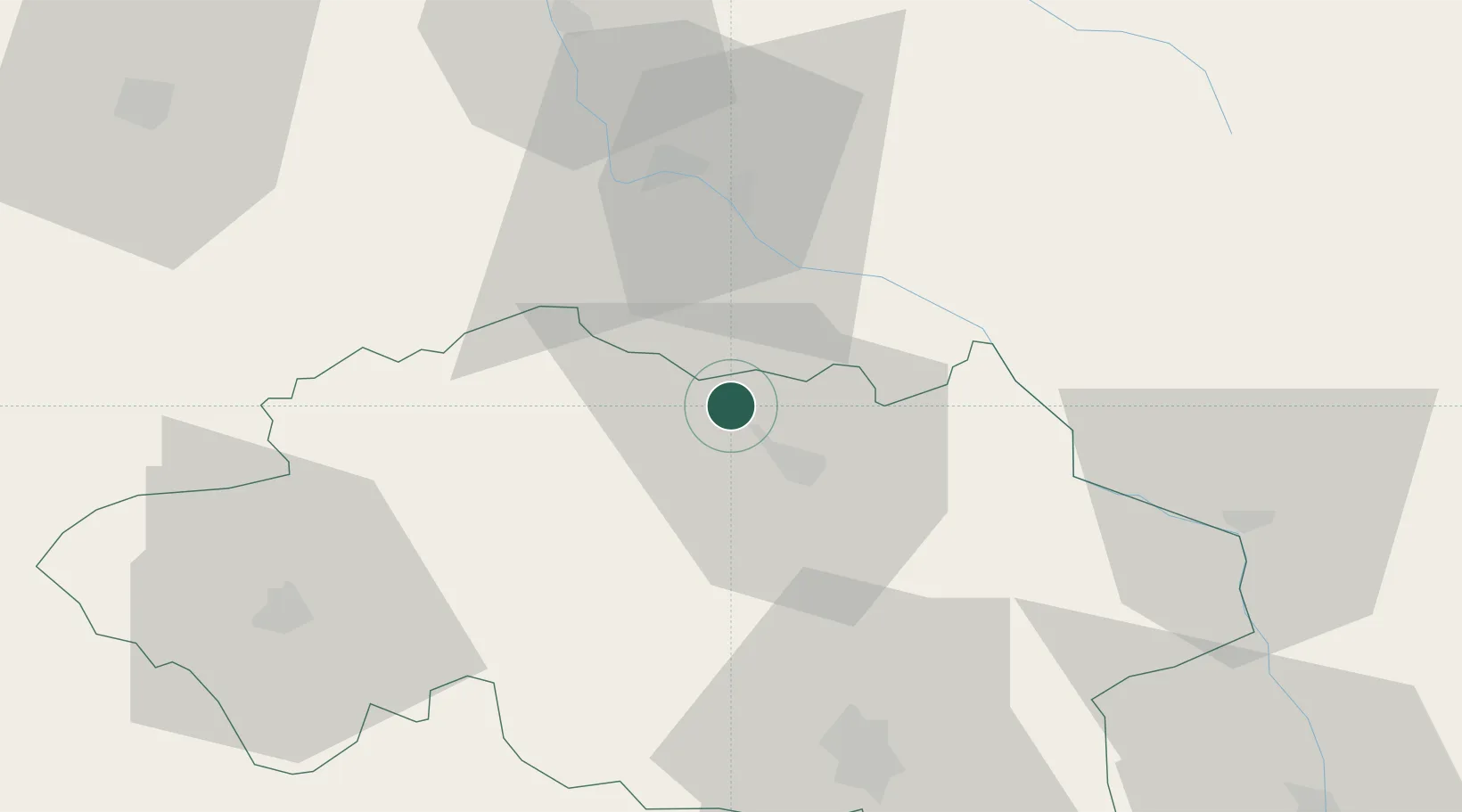
Villeneuve-sur-Allier
46.6500°, 3.2500°
960
Population
2
Transport functions
Transport Functions
Rail
Road
Hub Profile
Place type
Populated place
Region
Rhône-Alpes
Population
960
Time zone
Europe/Paris
Elevation
208 m
Location
Nearby Logistics Neighbours
Cities
- 1Moulins11 km
- 2Souvigny14 km
- 3Bessay-sur-Allier26 km
- 4Meillard28 km
- 5Saulcet35 km
Ports
- 1Tonnay Charente329 km
- 2Rochefort332 km
- 3La Rochelle342 km
- 4Ambes345 km
- 5La Pallice347 km
Airports
- 1Nevers-Fourchambault Airport41 km
- 2Vichy-Charmeil Airport55 km
- 3Saint-Yan Airport64 km
- 4Avord (BA 702) Air Base65 km
- 5Bourges airport81 km
Trade Zones
- 1ZFU Bourges85 km
- 2ZFU Clermont-Ferrand97 km
- 3ZFU Chenôve150 km
- 4ZFU Rillieux-la-Pape154 km
- 5ZFU Lyon 9e154 km
DatabookThe Record of Consolidated Knowledge
France beyond logistics?