UN/LOCODE hub · France
FRASY
Bessay-sur-Allier
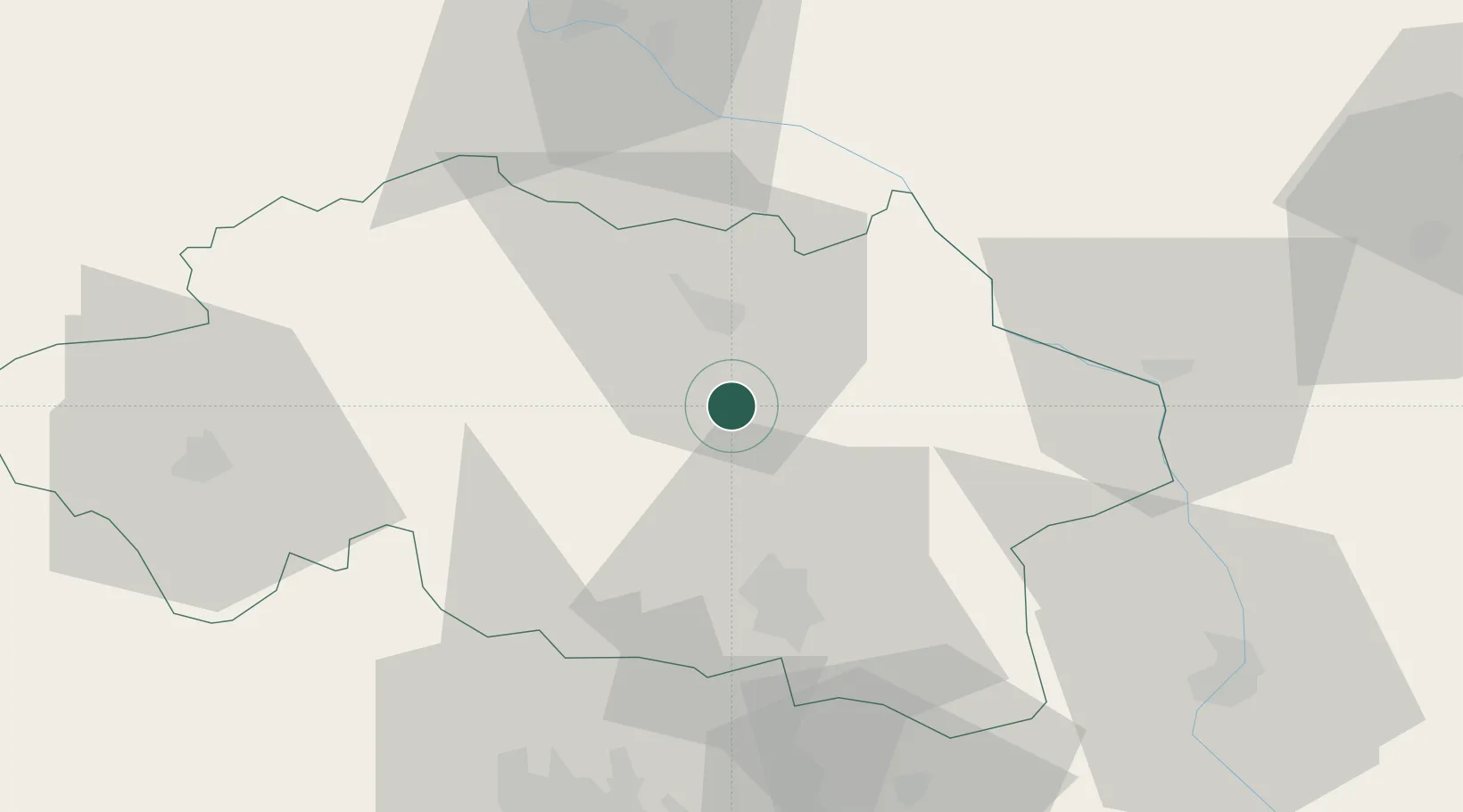
46.4333°, 3.3667°
1,414
Population
2
Transport functions
Transport Functions
Rail
Road
Hub Profile
Place type
Populated place
Region
Rhône-Alpes
Population
1,414
Time zone
Europe/Paris
Elevation
222 m
Location
Nearby Logistics Neighbours
Cities
- 1Meillard11 km
- 2Saulcet14 km
- 3Moulins15 km
- 4Saint-Pourçain-sur-Sioule16 km
- 5Souvigny18 km
Ports
- 1Tonnay Charente333 km
- 2Rochefort337 km
- 3Sete338 km
- 4Ambes341 km
- 5Blaye345 km
Airports
Trade Zones
- 1ZFU Clermont-Ferrand75 km
- 2ZFU Bourges107 km
- 3ZFU Lyon 9e133 km
- 4ZFU Saint-Etienne133 km
- 5ZFU Rillieux-la-Pape133 km
DatabookThe Record of Consolidated Knowledge
France beyond logistics?