Transport Functions
Multimodal
Hub Profile
Place type
Populated place
Region
Rhône-Alpes
Population
284
Time zone
Europe/Paris
Elevation
348 m
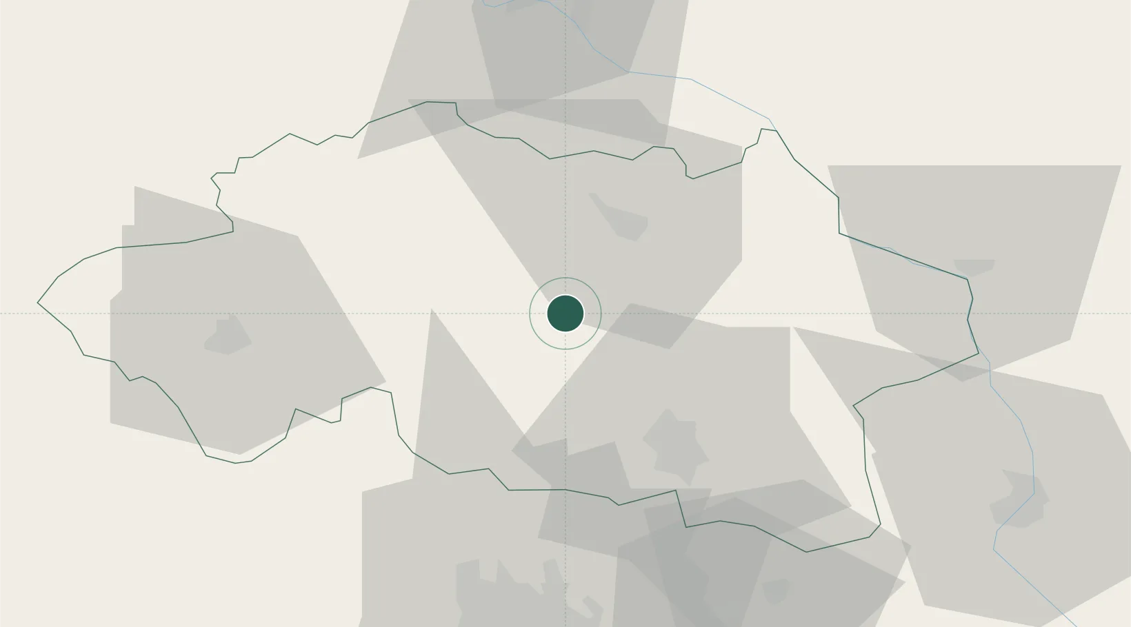
Location
Nearby Logistics Neighbours
Cities
- 1Saulcet8 km
- 2Bessay-sur-Allier11 km
- 3Cesset11 km
- 4Saint-Pourçain-sur-Sioule12 km
- 5Souvigny15 km
Ports
- 1Tonnay Charente323 km
- 2Rochefort326 km
- 3Ambes330 km
- 4Blaye334 km
- 5Sete336 km
Airports
Trade Zones
- 1ZFU Clermont-Ferrand69 km
- 2ZFU Bourges102 km
- 3ZFU Saint-Etienne136 km
- 4ZFU Lyon 9e140 km
- 5ZFU Rillieux-la-Pape141 km
DatabookThe Record of Consolidated Knowledge
France beyond logistics?