Transport Functions
Rail
Road
Hub Profile
Place type
Provincial seat
Region
Rhône-Alpes
Population
23,095
Time zone
Europe/Paris
Elevation
219 m
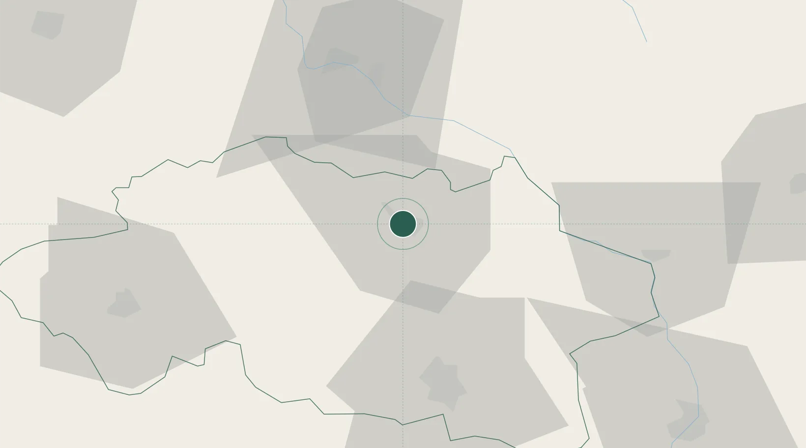
Location
Nearby Logistics Neighbours
Cities
- 1Villeneuve-sur-Allier11 km
- 2Souvigny12 km
- 3Bessay-sur-Allier15 km
- 4Meillard20 km
- 5Saulcet26 km
Ports
- 1Tonnay Charente333 km
- 2Rochefort337 km
- 3Ambes346 km
- 4La Rochelle347 km
- 5Blaye348 km
Airports
- 1Vichy-Charmeil Airport45 km
- 2Nevers-Fourchambault Airport51 km
- 3Saint-Yan Airport55 km
- 4Avord (BA 702) Air Base76 km
- 5Roanne-Renaison Airport77 km
Trade Zones
- 1ZFU Clermont-Ferrand89 km
- 2ZFU Bourges95 km
- 3ZFU Rillieux-la-Pape143 km
- 4ZFU Lyon 9e144 km
- 5ZFU Saint-Etienne147 km
DatabookThe Record of Consolidated Knowledge
France beyond logistics?