Transport Functions
Port
Multimodal
Hub Profile
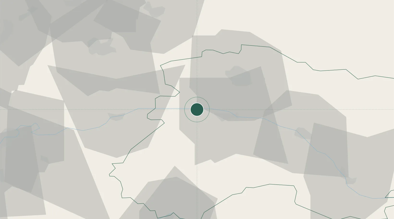
Place type
Populated place
Region
Grand Est
Population
565
Time zone
Europe/Paris
Elevation
155 m
Location
Nearby Logistics Neighbours
Cities
- 1Villers-sous-Châtillon3 km
- 2Reuil3 km
- 3Fleury-la-Rivière4 km
- 4Mont-Saint-Père4 km
- 5Belval-sous-Châtillon4 km
Ports
- 1Saint-Valery-Sur-Somme201 km
- 2Bruxelles202 km
- 3Port Of Rouen205 km
- 4Le Treport209 km
- 5Dieppe220 km
Airports
Trade Zones
DatabookThe Record of Consolidated Knowledge
France beyond logistics?