Transport Functions
Road
Multimodal
Hub Profile
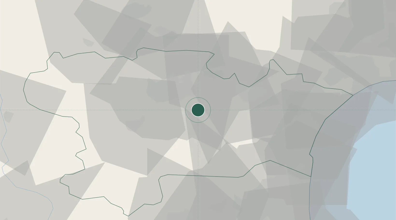
Place type
Populated place
Region
Occitanie
Population
184
Time zone
Europe/Paris
Elevation
206 m
Location
Nearby Logistics Neighbours
Cities
- 1Monze4 km
- 2Montlaur5 km
- 3Capendu5 km
- 4Floure5 km
- 5Fontiès-d'Aude7 km
Ports
- 1Port-La-Nouvelle47 km
- 2Port-Vendres86 km
- 3Sete100 km
- 4Rosas112 km
- 5Palamos154 km
Airports
Trade Zones
- 1ZFU Perpignan59 km
- 2ZFU Béziers60 km
- 3ZFU Toulouse101 km
- 4ZFU Montpellier119 km
- 5ZFU Nîmes165 km
DatabookThe Record of Consolidated Knowledge
France beyond logistics?