Transport Functions
Multimodal
Hub Profile
Place type
Populated place
Region
Occitanie
Population
554
Time zone
Europe/Paris
Elevation
206 m
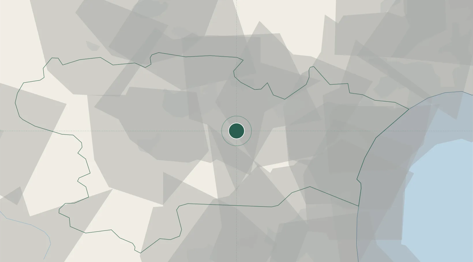
Location
Nearby Logistics Neighbours
Cities
- 1Pradelles-en-Val5 km
- 2Capendu6 km
- 3Douzens6 km
- 4Ribaute7 km
- 5Camplong-d'Aude7 km
Ports
- 1Port-La-Nouvelle43 km
- 2Port-Vendres82 km
- 3Sete96 km
- 4Rosas109 km
- 5Palamos151 km
Airports
Trade Zones
- 1ZFU Perpignan55 km
- 2ZFU Béziers57 km
- 3ZFU Toulouse105 km
- 4ZFU Montpellier116 km
- 5ZFU Nîmes163 km
DatabookThe Record of Consolidated Knowledge
France beyond logistics?