Transport Functions
Port
Hub Profile
Place type
Populated place
Region
Occitanie
Population
205
Time zone
Europe/Paris
Elevation
162 m
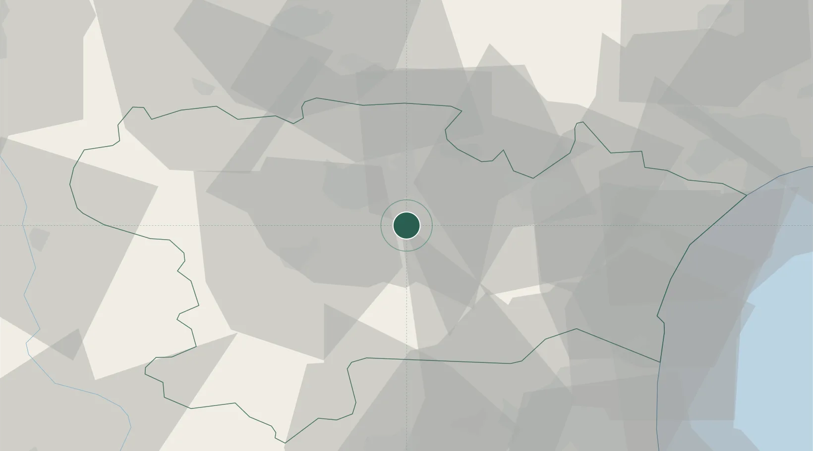
Location
Nearby Logistics Neighbours
Cities
- 1Floure4 km
- 2Fontiès-d'Aude4 km
- 3Pradelles-en-Val4 km
- 4Rustiques8 km
- 5Capendu8 km
Ports
- 1Port-La-Nouvelle51 km
- 2Port-Vendres88 km
- 3Sete104 km
- 4Rosas114 km
- 5Palamos156 km
Airports
Trade Zones
- 1ZFU Perpignan61 km
- 2ZFU Béziers64 km
- 3ZFU Toulouse97 km
- 4ZFU Montpellier122 km
- 5ZFU Nîmes169 km
DatabookThe Record of Consolidated Knowledge
France beyond logistics?