Transport Functions
Port
Rail
Road
Hub Profile
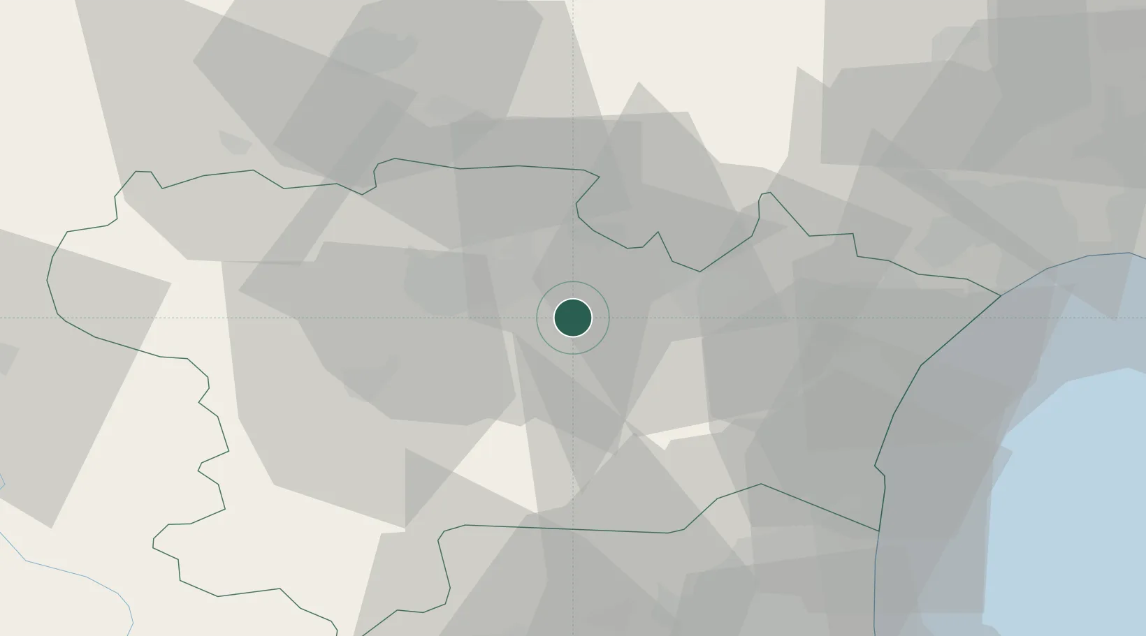
Place type
Populated place
Region
Occitanie
Population
1,525
Time zone
Europe/Paris
Elevation
76 m
Location
Nearby Logistics Neighbours
Cities
- 1Douzens4 km
- 2Blomac5 km
- 3Badens5 km
- 4Pradelles-en-Val5 km
- 5Floure5 km
Ports
- 1Port-La-Nouvelle46 km
- 2Port-Vendres87 km
- 3Sete96 km
- 4Rosas114 km
- 5Palamos157 km
Airports
Trade Zones
- 1ZFU Béziers57 km
- 2ZFU Perpignan61 km
- 3ZFU Toulouse101 km
- 4ZFU Montpellier115 km
- 5ZFU Nîmes161 km
DatabookThe Record of Consolidated Knowledge
France beyond logistics?