Transport Functions
Multimodal
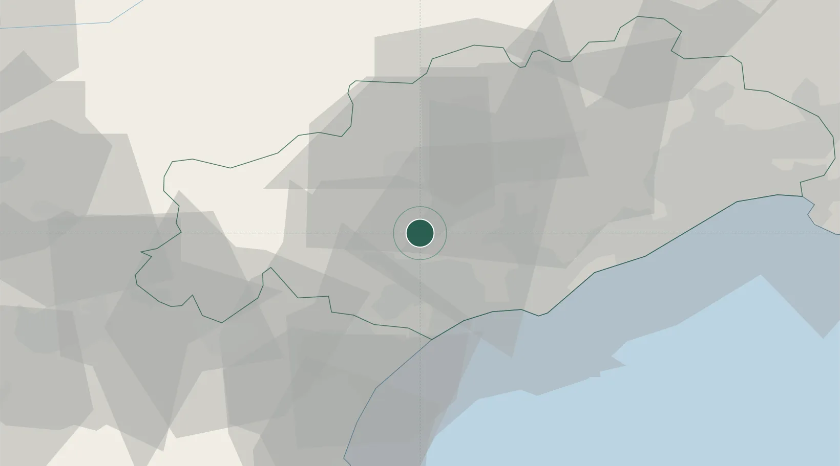
Hub Profile
Place type
Populated place
Region
Occitanie
Population
2,063
Time zone
Europe/Paris
Elevation
132 m
Location
Nearby Logistics Neighbours
Cities
- 1Puimisson4 km
- 2Puissalicon4 km
- 3Pouzolles4 km
- 4Fouzilhon5 km
- 5Gabian6 km
Ports
- 1Sete40 km
- 2Port-La-Nouvelle52 km
- 3Port-Vendres106 km
- 4Port Saint Louis Du Rhone130 km
- 5Rosas134 km
Airports
Trade Zones
- 1ZFU Béziers15 km
- 2ZFU Montpellier53 km
- 3ZFU Perpignan89 km
- 4ZFU Nîmes99 km
- 5ZFU Avignon138 km
DatabookThe Record of Consolidated Knowledge
France beyond logistics?