UN/LOCODE hub · France
FRVGM
Sanvignes-les-Mines
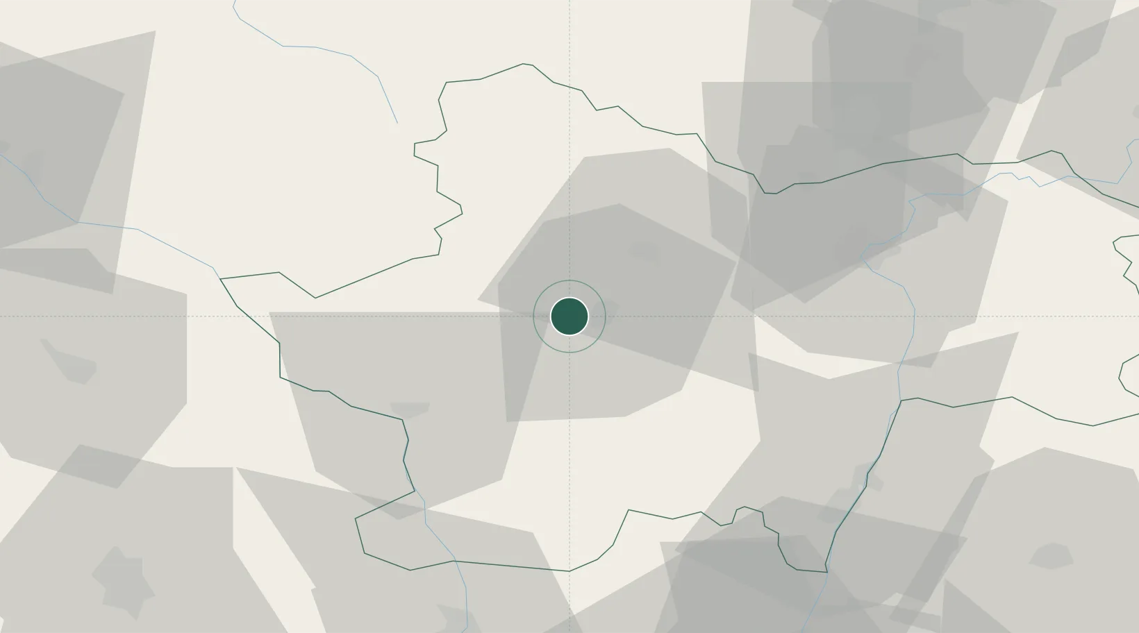
46.6667°, 4.3000°
4,359
Population
2
Transport functions
Transport Functions
Road
Multimodal
Hub Profile
Place type
Populated place
Region
Bourgogne
Population
4,359
Time zone
Europe/Paris
Elevation
336 m
Location
Nearby Logistics Neighbours
Cities
- 1Saint-Vallier5 km
- 2Génelard11 km
- 3Montchanin16 km
- 4Saint-Bonnet-de-Vieille-Vigne17 km
- 5Le Creusot18 km
Ports
- 1Fos364 km
- 2Sete366 km
- 3Port-de-Bouc367 km
- 4Port Saint Louis Du Rhone367 km
- 5Marseille382 km
Airports
- 1Saint-Yan Airport36 km
- 2Mâcon-Charnay Airfield56 km
- 3Roanne-Renaison Airport72 km
- 4Vichy-Charmeil Airport88 km
- 5Dijon Longvic airport90 km
Trade Zones
- 1ZFU Chenôve87 km
- 2ZFU Rillieux-la-Pape103 km
- 3ZFU Lyon 9e107 km
- 4ZFU Vaulx-en-Velin110 km
- 5ZFU Vénissieux116 km
DatabookThe Record of Consolidated Knowledge
France beyond logistics?