UN/LOCODE hub · France
FRBV2
Saint-Bonnet-de-Vieille-Vigne
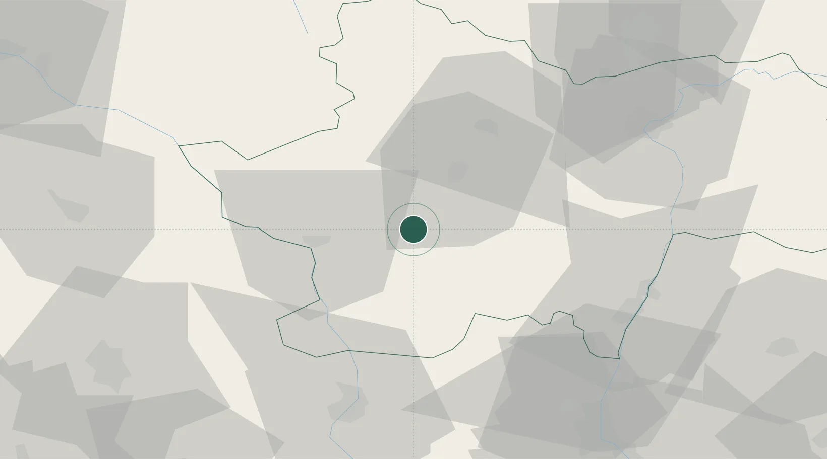
46.5167°, 4.2500°
196
Population
1
Transport functions
Transport Functions
Multimodal
Hub Profile
Place type
Populated place
Region
Bourgogne
Population
196
Time zone
Europe/Paris
Elevation
303 m
Location
Nearby Logistics Neighbours
Cities
- 1Génelard8 km
- 2Monchanin8 km
- 3Paray-le-Monial13 km
- 4Sanvignes-les-Mines17 km
- 5Saint-Vallier17 km
Ports
- 1Fos348 km
- 2Sete349 km
- 3Port Saint Louis Du Rhone351 km
- 4Port-de-Bouc351 km
- 5Marseille367 km
Airports
- 1Saint-Yan Airport21 km
- 2Mâcon-Charnay Airfield49 km
- 3Roanne-Renaison Airport55 km
- 4Vichy-Charmeil Airport76 km
- 5Ambérieu Air Base (BA 278)102 km
Trade Zones
- 1ZFU Rillieux-la-Pape90 km
- 2ZFU Lyon 9e93 km
- 3ZFU Vaulx-en-Velin97 km
- 4ZFU Vénissieux102 km
- 5ZFU Chenôve103 km
DatabookThe Record of Consolidated Knowledge
France beyond logistics?