Transport Functions
Multimodal
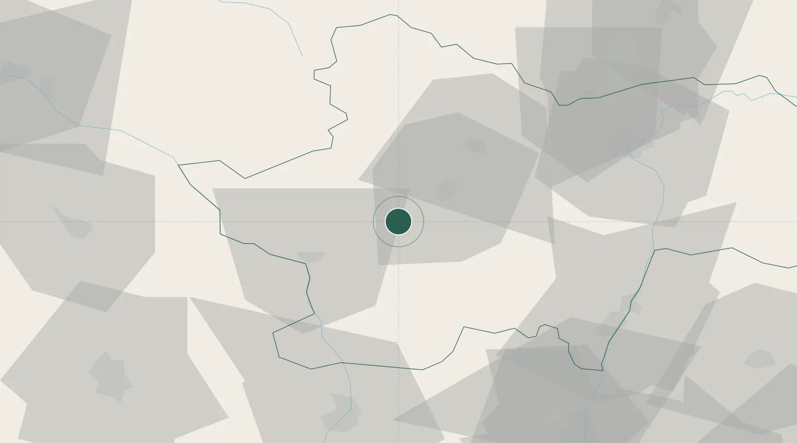
Hub Profile
Place type
Populated place
Region
Bourgogne
Population
1,442
Time zone
Europe/Paris
Elevation
272 m
Location
Nearby Logistics Neighbours
Cities
- 1Saint-Bonnet-de-Vieille-Vigne8 km
- 2Sanvignes-les-Mines11 km
- 3Saint-Vallier13 km
- 4Monchanin15 km
- 5Paray-le-Monial17 km
Ports
- 1Fos356 km
- 2Sete356 km
- 3Port Saint Louis Du Rhone359 km
- 4Port-de-Bouc359 km
- 5Marseille374 km
Airports
- 1Saint-Yan Airport25 km
- 2Mâcon-Charnay Airfield54 km
- 3Roanne-Renaison Airport62 km
- 4Vichy-Charmeil Airport79 km
- 5Nevers-Fourchambault Airport97 km
Trade Zones
- 1ZFU Rillieux-la-Pape97 km
- 2ZFU Chenôve97 km
- 3ZFU Lyon 9e100 km
- 4ZFU Vaulx-en-Velin104 km
- 5ZFU Vénissieux109 km
DatabookThe Record of Consolidated Knowledge
France beyond logistics?