Transport Functions
Port
Hub Profile
Place type
Populated place
Region
Bourgogne
Population
9,670
Time zone
Europe/Paris
Elevation
332 m
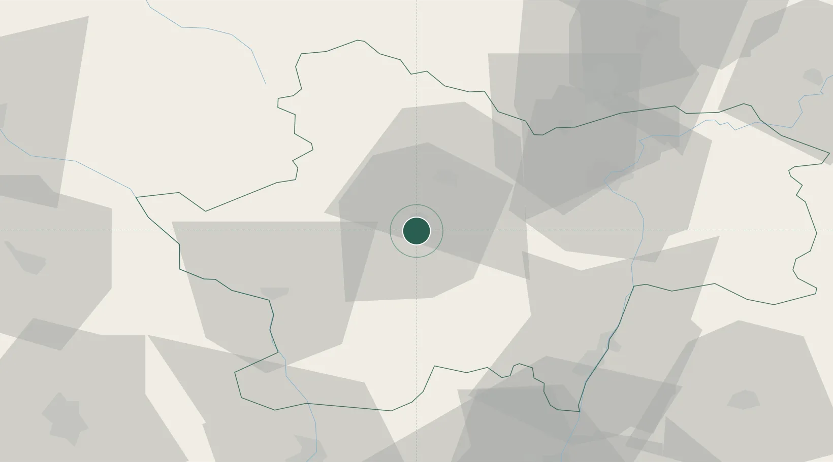
Location
Nearby Logistics Neighbours
Cities
- 1Sanvignes-les-Mines5 km
- 2Génelard13 km
- 3Montchanin14 km
- 4Saint-Privé16 km
- 5Vernizy17 km
Ports
- 1Fos362 km
- 2Port-de-Bouc365 km
- 3Port Saint Louis Du Rhone365 km
- 4Sete365 km
- 5Marseille379 km
Airports
- 1Saint-Yan Airport38 km
- 2Mâcon-Charnay Airfield51 km
- 3Roanne-Renaison Airport72 km
- 4Dijon Longvic airport88 km
- 5Vichy-Charmeil Airport91 km
Trade Zones
- 1ZFU Chenôve85 km
- 2ZFU Rillieux-la-Pape99 km
- 3ZFU Lyon 9e103 km
- 4ZFU Vaulx-en-Velin106 km
- 5ZFU Vénissieux112 km
DatabookThe Record of Consolidated Knowledge
France beyond logistics?