Transport Functions
Rail
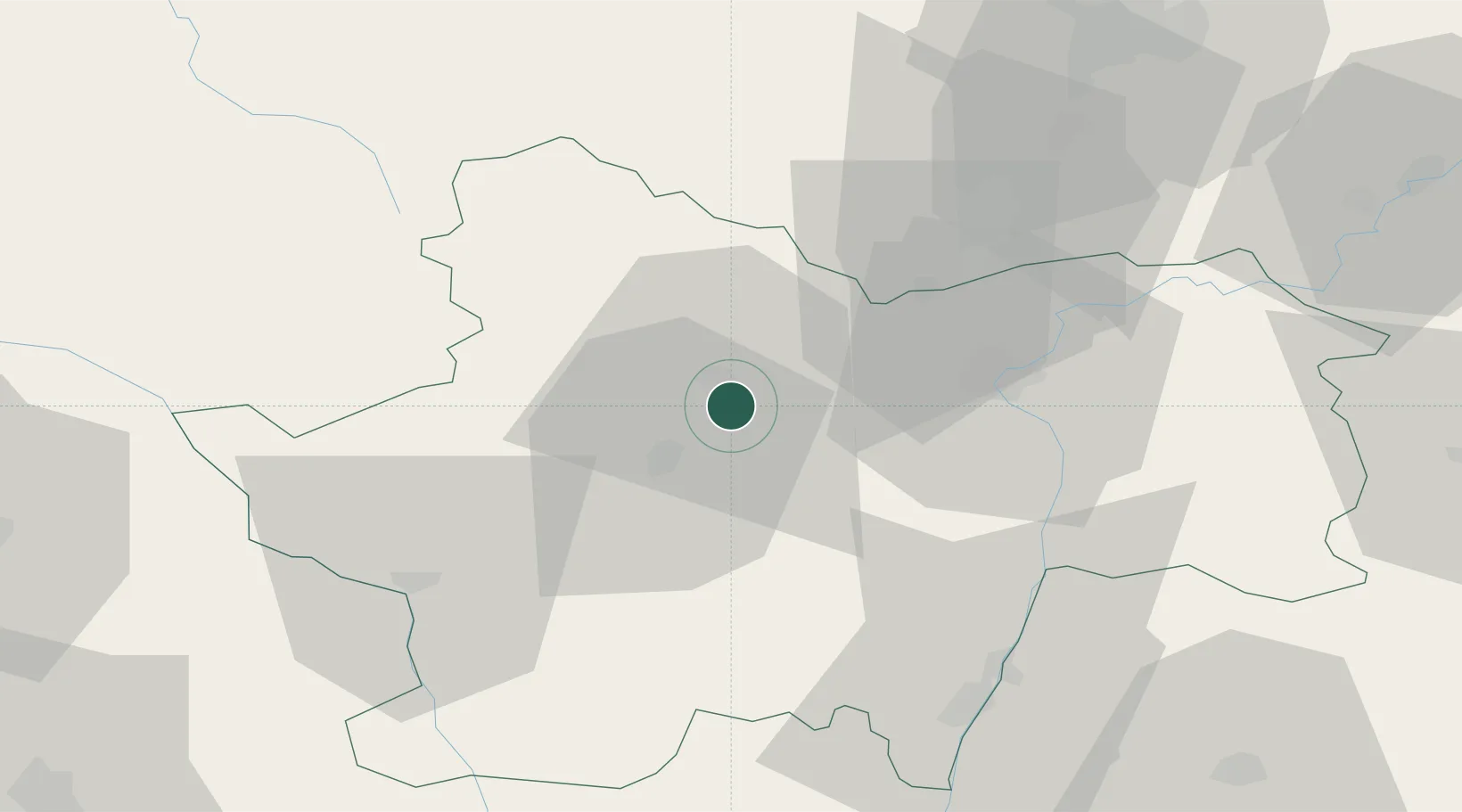
Hub Profile
Place type
Populated place
Region
Bourgogne
Population
5,612
Time zone
Europe/Paris
Elevation
323 m
Location
Nearby Logistics Neighbours
Cities
- 1Vernizy4 km
- 2Écuisses5 km
- 3Le Breuil6 km
- 4Le Creusot6 km
- 5Saint-Privé11 km
Ports
- 1Fos372 km
- 2Port-de-Bouc375 km
- 3Port Saint Louis Du Rhone375 km
- 4Sete377 km
- 5Marseille388 km
Airports
- 1Saint-Yan Airport51 km
- 2Mâcon-Charnay Airfield57 km
- 3Dijon Longvic airport75 km
- 4Dole Tavaux Airport80 km
- 5Roanne-Renaison Airport85 km
Trade Zones
- 1ZFU Chenôve72 km
- 2ZFU Rillieux-la-Pape107 km
- 3ZFU Lyon 9e112 km
- 4ZFU Vaulx-en-Velin113 km
- 5ZFU Vénissieux121 km
DatabookThe Record of Consolidated Knowledge
France beyond logistics?