Transport Functions
Rail
Road
Hub Profile
Place type
Populated place
Region
Occitanie
Population
1,194
Time zone
Europe/Paris
Elevation
224 m
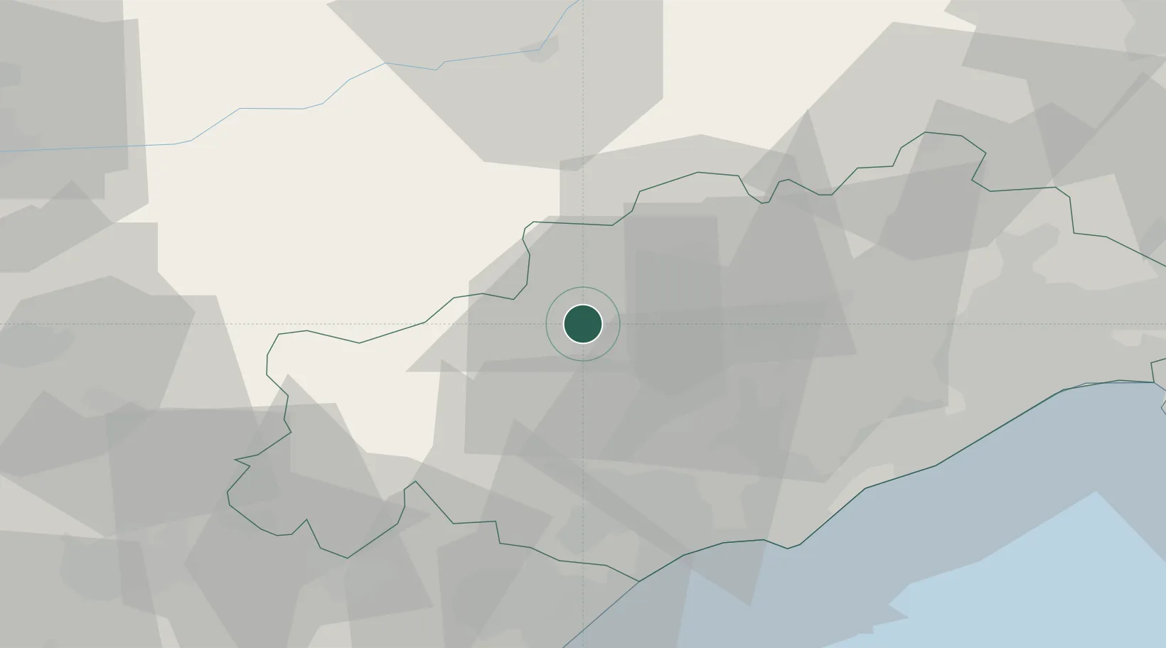
Location
Nearby Logistics Neighbours
Cities
- 1Brenas8 km
- 2Combes9 km
- 3Faugères10 km
- 4Caussiniojouls11 km
- 5Mérifons11 km
Ports
- 1Sete52 km
- 2Port-La-Nouvelle71 km
- 3Port-Vendres126 km
- 4Port Saint Louis Du Rhone138 km
- 5Fos142 km
Airports
Trade Zones
- 1ZFU Béziers35 km
- 2ZFU Montpellier56 km
- 3ZFU Nîmes98 km
- 4ZFU Perpignan108 km
- 5ZFU Avignon137 km
DatabookThe Record of Consolidated Knowledge
France beyond logistics?