Transport Functions
Port
Hub Profile
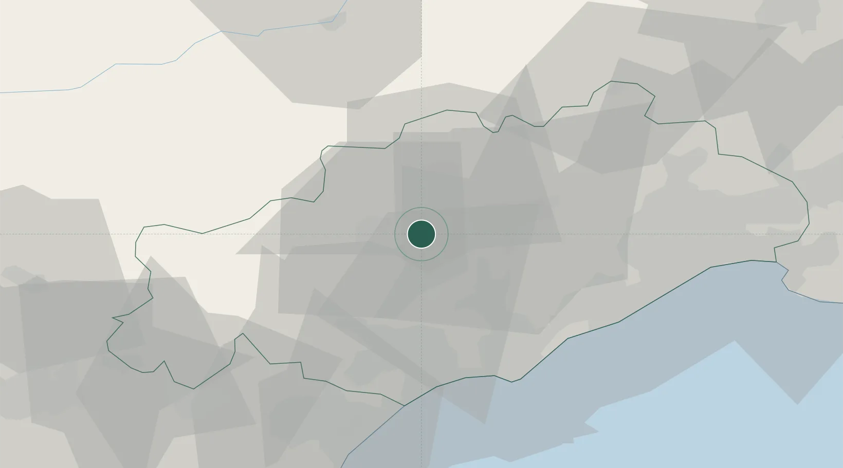
Place type
Populated place
Region
Occitanie
Population
30
Time zone
Europe/Paris
Elevation
192 m
Location
Nearby Logistics Neighbours
Cities
- 1Brenas5 km
- 2Fos6 km
- 3Cabrières8 km
- 4Roquessels9 km
- 5Faugères10 km
Ports
- 1Sete41 km
- 2Port-La-Nouvelle69 km
- 3Port-Vendres123 km
- 4Port Saint Louis Du Rhone126 km
- 5Fos131 km
Airports
Trade Zones
- 1ZFU Béziers32 km
- 2ZFU Montpellier45 km
- 3ZFU Nîmes88 km
- 4ZFU Perpignan107 km
- 5ZFU Avignon128 km
DatabookThe Record of Consolidated Knowledge
France beyond logistics?