Transport Functions
Multimodal
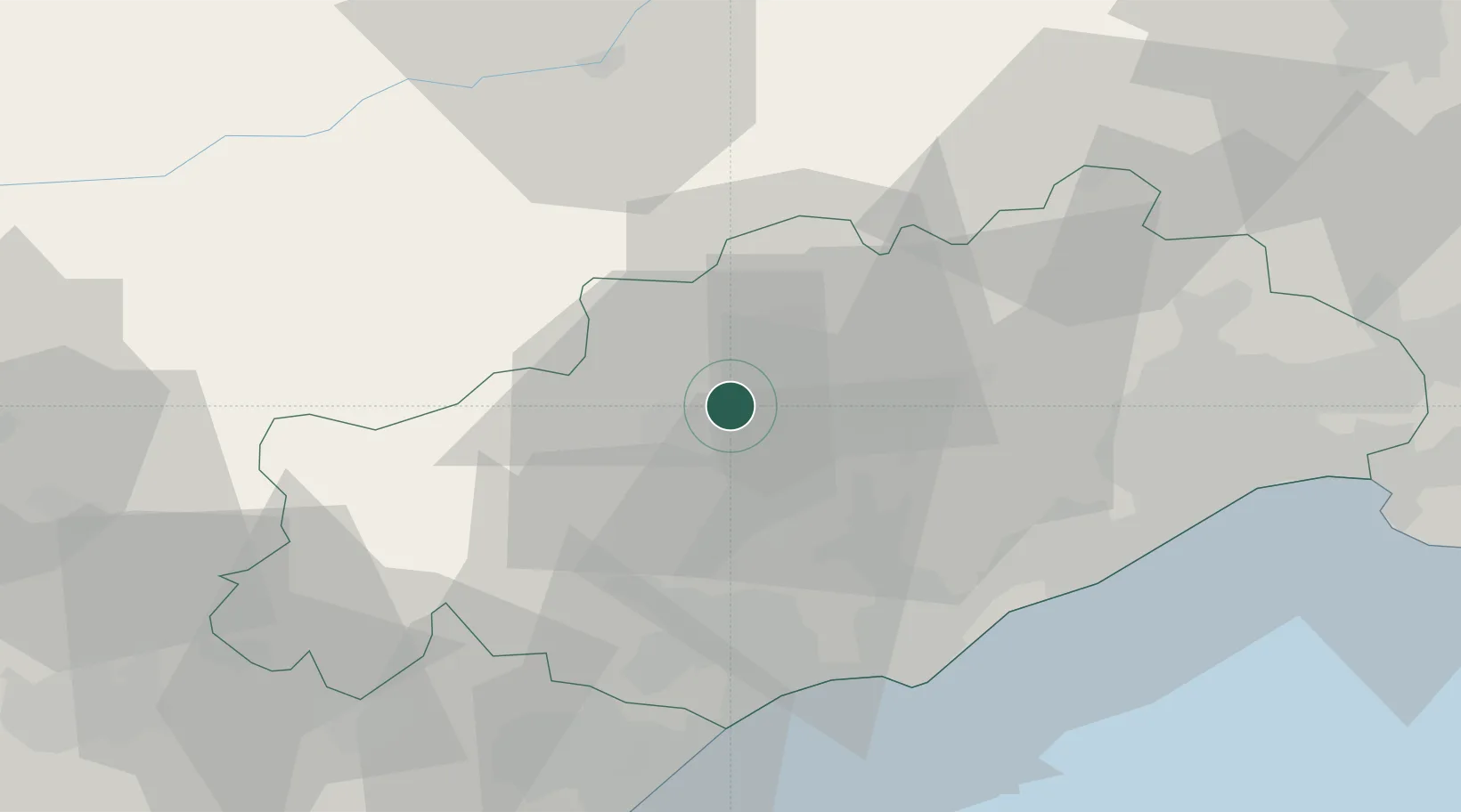
Hub Profile
Place type
Populated place
Region
Occitanie
Population
28
Time zone
Europe/Paris
Elevation
446 m
Location
Nearby Logistics Neighbours
Cities
- 1Mérifons5 km
- 2La Tour-sur-Orb8 km
- 3Fos9 km
- 4Faugères11 km
- 5Roquessels11 km
Ports
- 1Sete46 km
- 2Port-La-Nouvelle72 km
- 3Port-Vendres127 km
- 4Port Saint Louis Du Rhone130 km
- 5Fos134 km
Airports
Trade Zones
- 1ZFU Béziers35 km
- 2ZFU Montpellier48 km
- 3ZFU Nîmes90 km
- 4ZFU Perpignan110 km
- 5ZFU Avignon129 km
DatabookThe Record of Consolidated Knowledge
France beyond logistics?