Transport Functions
Multimodal
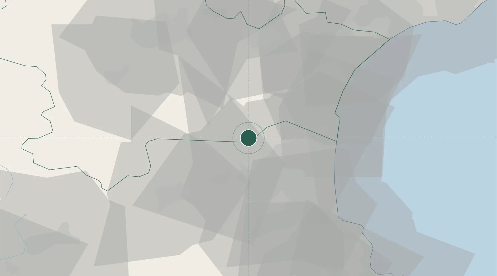
Hub Profile
Place type
Populated place
Region
Occitanie
Population
551
Time zone
Europe/Paris
Elevation
139 m
Location
Nearby Logistics Neighbours
Ports
- 1Port-La-Nouvelle34 km
- 2Port-Vendres49 km
- 3Rosas75 km
- 4Sete101 km
- 5Palamos118 km
Airports
Trade Zones
- 1ZFU Perpignan22 km
- 2ZFU Béziers68 km
- 3ZFU Montpellier124 km
- 4ZFU Toulouse133 km
- 5ZFU Nîmes171 km
DatabookThe Record of Consolidated Knowledge
France beyond logistics?