Transport Functions
Road
Multimodal
Hub Profile
Place type
Populated place
Region
Occitanie
Population
376
Time zone
Europe/Paris
Elevation
184 m
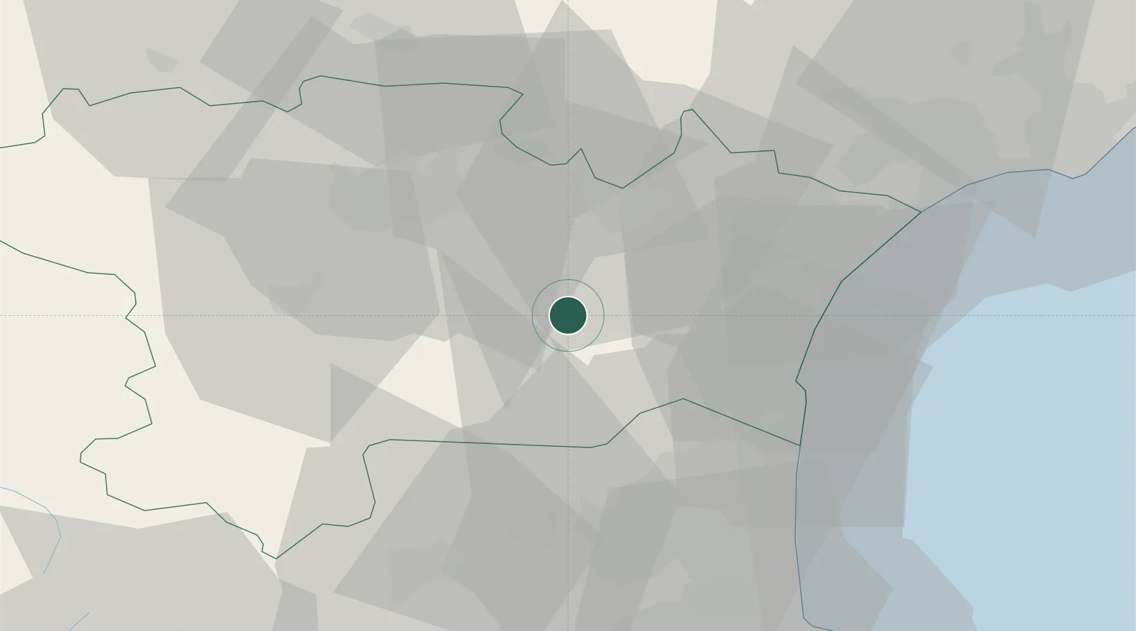
Location
Nearby Logistics Neighbours
Cities
- 1Tournissan4 km
- 2Saint-Laurent-de-la-Cabrerisse5 km
- 3Ribaute6 km
- 4Camplong-d'Aude9 km
- 5Fabrezan10 km
Ports
- 1Port-La-Nouvelle33 km
- 2Port-Vendres70 km
- 3Sete92 km
- 4Rosas97 km
- 5Palamos140 km
Airports
Trade Zones
- 1ZFU Perpignan43 km
- 2ZFU Béziers55 km
- 3ZFU Montpellier114 km
- 4ZFU Toulouse117 km
- 5ZFU Nîmes161 km
DatabookThe Record of Consolidated Knowledge
France beyond logistics?