Transport Functions
Road
Multimodal
Hub Profile
Place type
Populated place
Region
Rhône-Alpes
Population
6,630
Time zone
Europe/Paris
Elevation
367 m
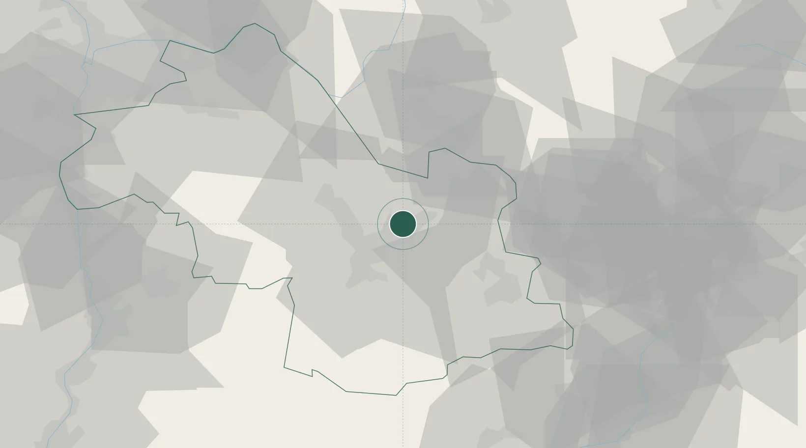
Location
Nearby Logistics Neighbours
Cities
- 1Lancey3 km
- 2Le Versoud6 km
- 3Froges7 km
- 4Les Adrets11 km
- 5Grenoble11 km
Ports
- 1Nice207 km
- 2Villefranche209 km
- 3Monaco210 km
- 4Cannes211 km
- 5Antibes212 km
Airports
Trade Zones
- 1ZFU Grenoble14 km
- 2ZFU Valence86 km
- 3ZFU Vénissieux91 km
- 4ZFU Vaulx-en-Velin92 km
- 5Aosta Valley93 km
DatabookThe Record of Consolidated Knowledge
France beyond logistics?