Transport Functions
Road
Multimodal
Hub Profile
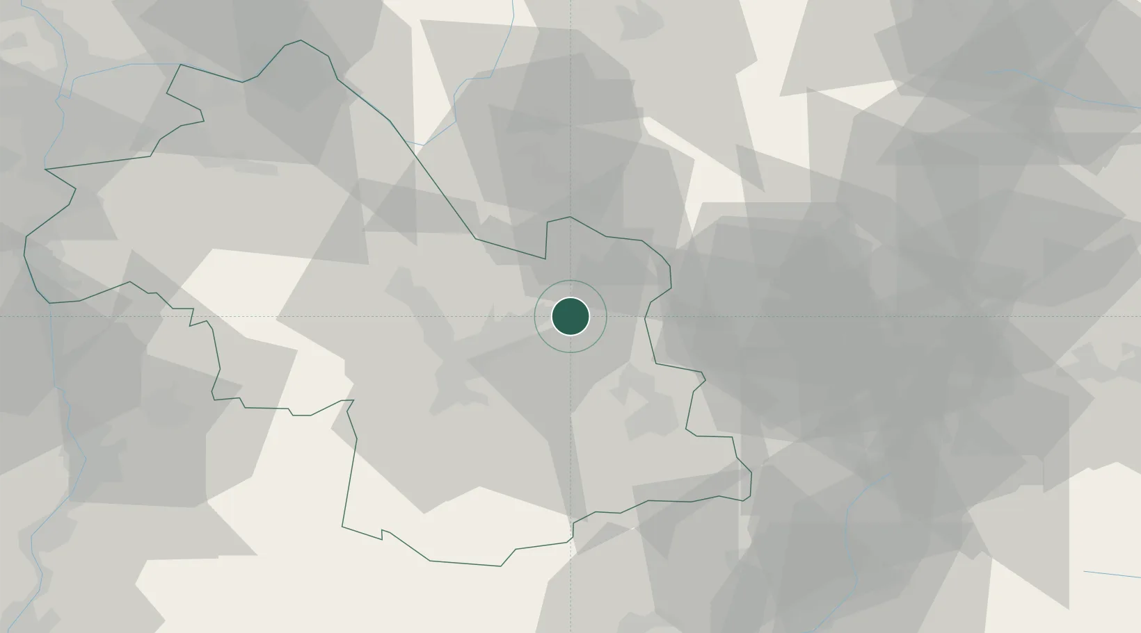
Place type
Populated place
Region
Rhône-Alpes
Population
689
Time zone
Europe/Paris
Elevation
735 m
Location
Nearby Logistics Neighbours
Cities
- 1Froges4 km
- 2Theys5 km
- 3Lancey9 km
- 4Saint-Ismier11 km
- 5Le Versoud11 km
Ports
- 1Nice203 km
- 2Villefranche205 km
- 3Monaco206 km
- 4Cannes208 km
- 5Antibes209 km
Airports
Trade Zones
- 1ZFU Grenoble24 km
- 2Aosta Valley83 km
- 3ZFU Valence96 km
- 4ZFU Vénissieux99 km
- 5ZFU Vaulx-en-Velin100 km
DatabookThe Record of Consolidated Knowledge
France beyond logistics?