Transport Functions
Rail
Airport
Hub Profile
Place type
Provincial seat
Region
Rhône-Alpes
Population
158,552
Time zone
Europe/Paris
Elevation
218 m
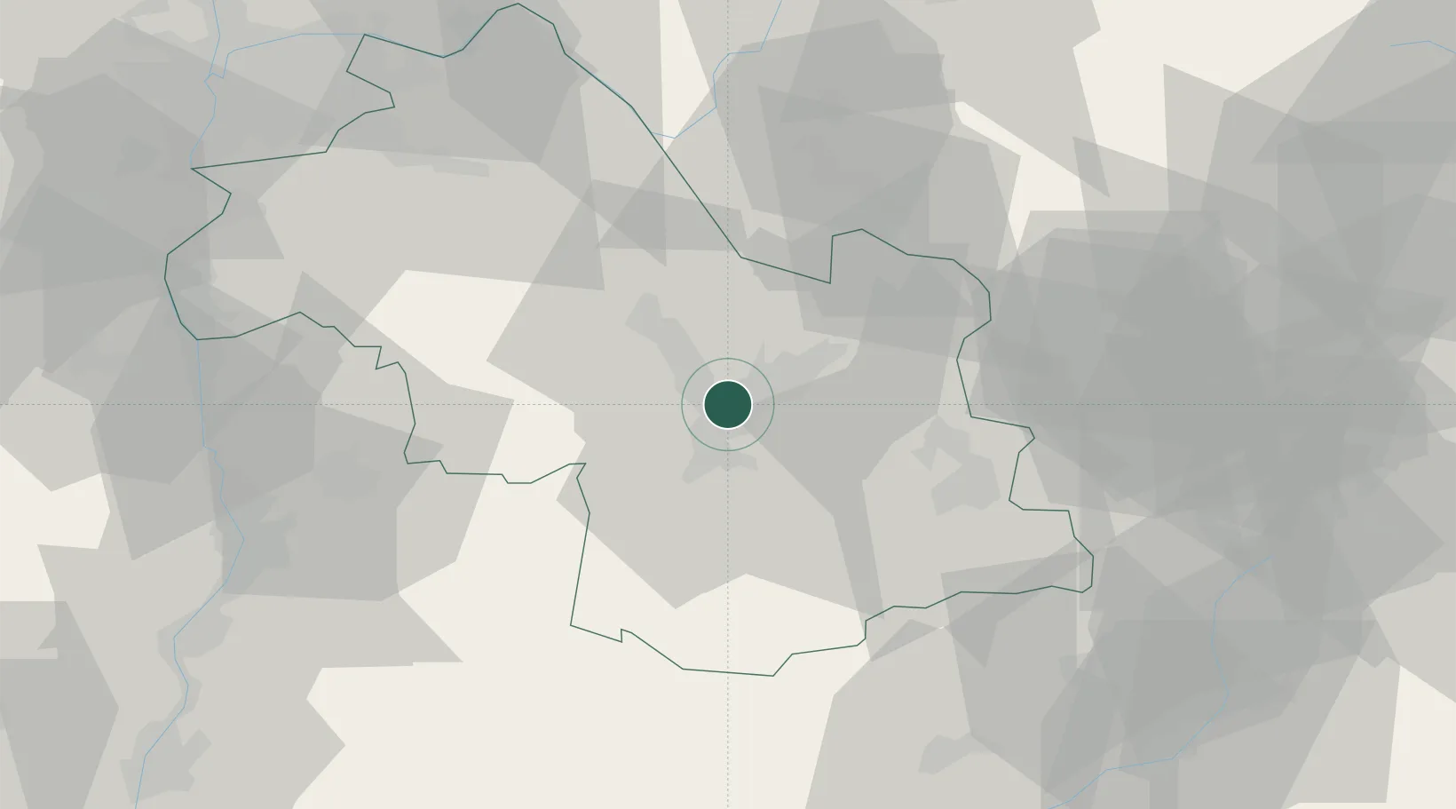
Location
Nearby Logistics Neighbours
Cities
- 1Saint-Égrève7 km
- 2Herbeys8 km
- 3Brié-et-Angonnes9 km
- 4Champagnier9 km
- 5Le Versoud11 km
Ports
- 1Nice206 km
- 2Port-de-Bouc207 km
- 3Villefranche207 km
- 4Fos208 km
- 5Cannes208 km
Airports
Trade Zones
- 1ZFU Grenoble4 km
- 2ZFU Valence75 km
- 3ZFU Vénissieux90 km
- 4ZFU Vaulx-en-Velin92 km
- 5ZFU Lyon 9e98 km
DatabookThe Record of Consolidated Knowledge
France beyond logistics?