Transport Functions
Rail
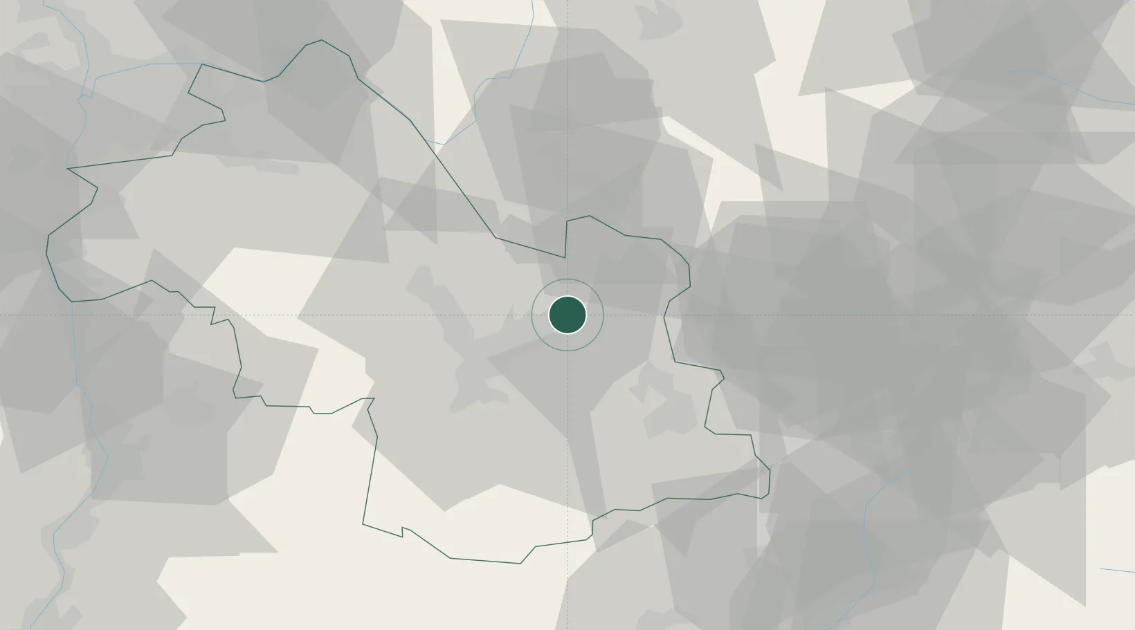
Hub Profile
Place type
Populated place
Region
Rhône-Alpes
Population
3,522
Time zone
Europe/Paris
Elevation
235 m
Location
Nearby Logistics Neighbours
Cities
- 1Les Adrets4 km
- 2Lancey5 km
- 3Saint-Ismier7 km
- 4Theys8 km
- 5Le Versoud8 km
Ports
- 1Nice205 km
- 2Villefranche207 km
- 3Monaco208 km
- 4Cannes210 km
- 5Antibes211 km
Airports
Trade Zones
- 1ZFU Grenoble21 km
- 2Aosta Valley86 km
- 3ZFU Valence92 km
- 4ZFU Vénissieux96 km
- 5ZFU Vaulx-en-Velin96 km
DatabookThe Record of Consolidated Knowledge
France beyond logistics?