Transport Functions
Multimodal
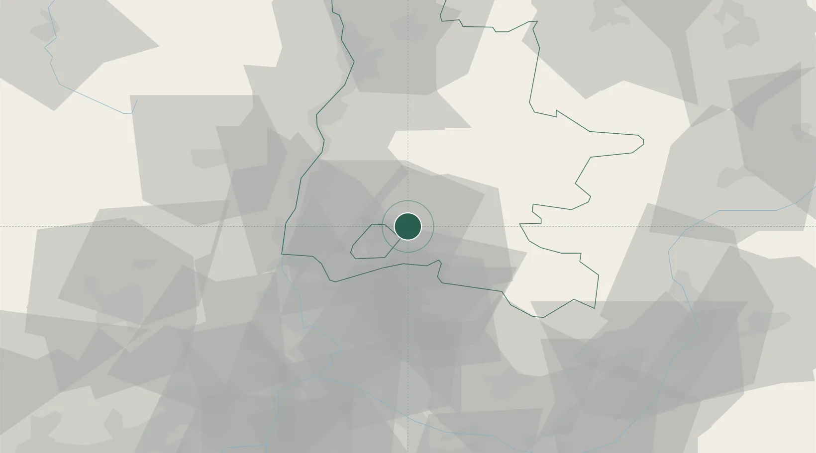
Hub Profile
Place type
Populated place
Region
Rhône-Alpes
Population
289
Time zone
Europe/Paris
Elevation
450 m
Location
Nearby Logistics Neighbours
Cities
- 1Saint-Pantaléon-les-Vignes3 km
- 2Taulignan8 km
- 3Nyons8 km
- 4Roche-Saint-Secret8 km
- 5Dieulefit11 km
Ports
- 1Fos112 km
- 2Port-de-Bouc113 km
- 3Port Saint Louis Du Rhone117 km
- 4Marseille125 km
- 5Sete157 km
Airports
Trade Zones
- 1ZFU Avignon56 km
- 2ZFU Valence59 km
- 3ZFU Nîmes88 km
- 4ZFU Grenoble98 km
- 5ZFU Marseille 15e et 16e123 km
DatabookThe Record of Consolidated Knowledge
France beyond logistics?