Transport Functions
Port
Multimodal
Hub Profile
Region
26
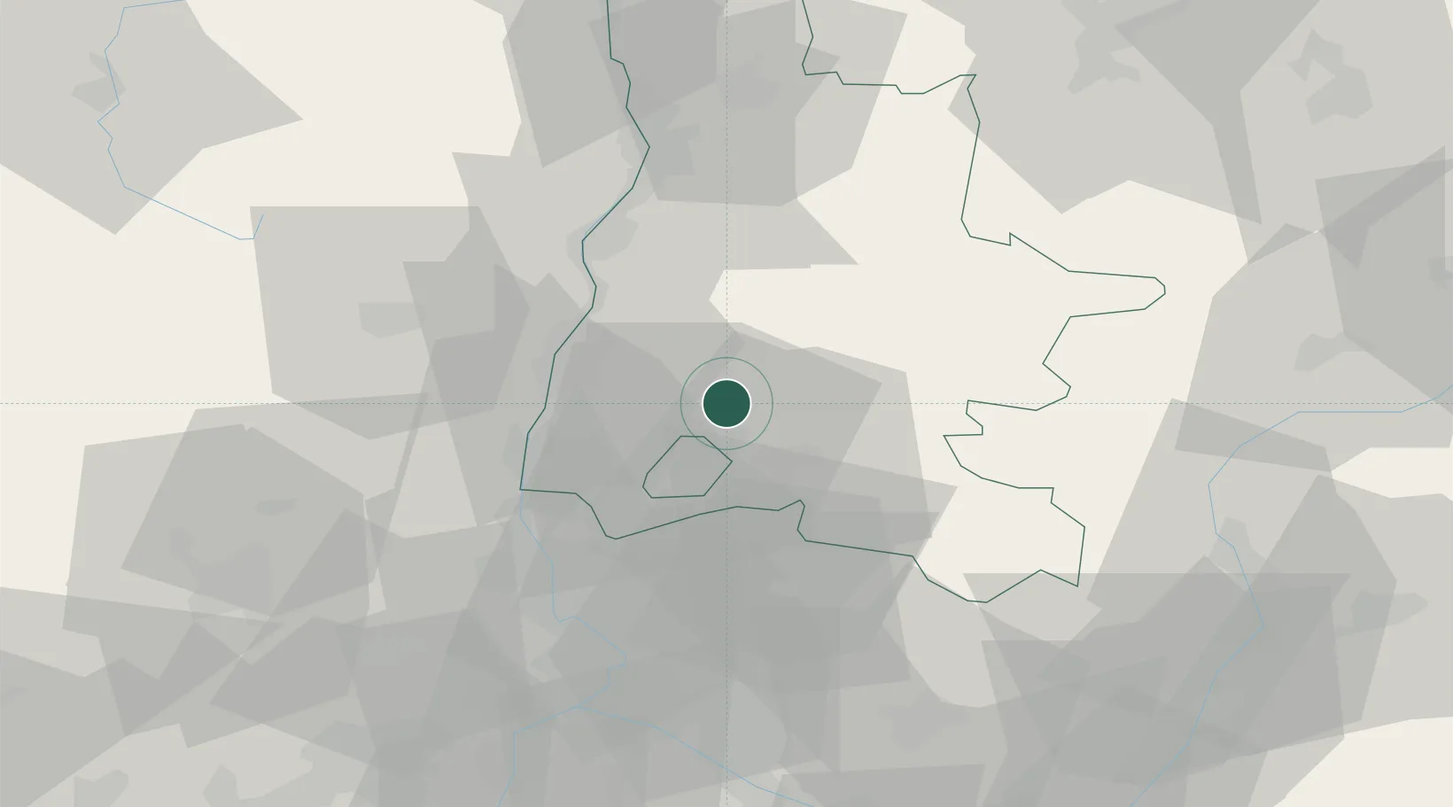
Location
Nearby Logistics Neighbours
Cities
- 1Dieulefit5 km
- 2Taulignan5 km
- 3Rousset-les-Vignes8 km
- 4Saint-Pantaléon-les-Vignes9 km
- 5Grignan13 km
Ports
- 1Fos119 km
- 2Port-de-Bouc121 km
- 3Port Saint Louis Du Rhone124 km
- 4Marseille132 km
- 5Sete161 km
Airports
Trade Zones
- 1ZFU Valence51 km
- 2ZFU Avignon62 km
- 3ZFU Nîmes92 km
- 4ZFU Grenoble93 km
- 5ZFU Saint-Etienne120 km
DatabookThe Record of Consolidated Knowledge
France beyond logistics?