UN/LOCODE hub · France
FRS26

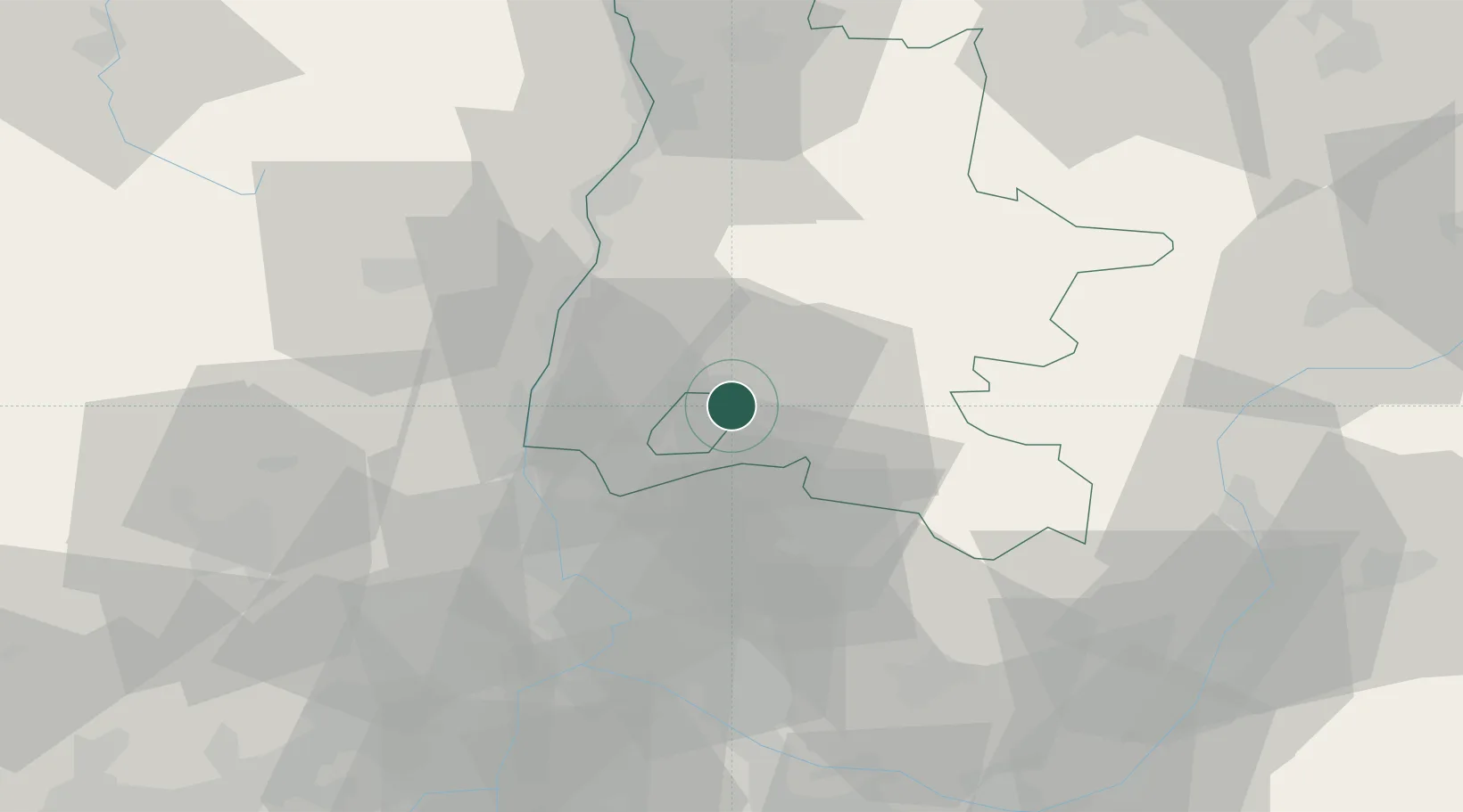
Saint-Pantaléon-les-Vignes

44.4000°, 5.0333°
331
Population
1
Transport functions

Transport Functions

Multimodal
UN/LOCODE

Hub Profile

Place type
Populated place
GeoNames
Region
Rhône-Alpes
GeoNames
Population
331
GeoNames
Time zone
Europe/Paris
GeoNames
Elevation
324 m
GeoNames

Location

Location of FRS26
Natural Earth 10m (public domain) · Rhône-Alpes · FRS26 · 44.40, 5.03GoogleOSMYandex

Nearby Logistics Neighbours

Cities
  1. 1Rousset-les-Vignes3 km
  2. 2Taulignan7 km
  3. 3Nyons9 km
  4. 4Roche-Saint-Secret9 km
  5. 5Grignan11 km
Nearest neighbours — logibook spatial index (haversine) over the source coordinates
Ports
  1. 1Fos110 km
  2. 2Port-de-Bouc111 km
  3. 3Port Saint Louis Du Rhone114 km
  4. 4Marseille123 km
  5. 5Sete154 km
Nearest neighbours — logibook spatial index (haversine) over the source coordinates
Airports
  1. 1Orange-Caritat (BA 115) Air Base32 km
  2. 2Aubenas-South Ardèche Airport55 km
  3. 3Avignon Caumont airport56 km
  4. 4Valence-Chabeuil Airport58 km
  5. 5Aérodrome d'Alès Cévennes80 km
Nearest neighbours — logibook spatial index (haversine) over the source coordinates
Trade Zones
  1. 1ZFU Avignon53 km
  2. 2ZFU Valence60 km
  3. 3ZFU Nîmes84 km
  4. 4ZFU Grenoble101 km
  5. 5ZFU Marseille 15e et 16e122 km
Nearest neighbours — logibook spatial index (haversine) over the source coordinates
DatabookThe Record of Consolidated Knowledge
France beyond logistics?
Browse databook

All Sources

LocationsUN/LOCODE
UN/LOCODE — free
LocationsGeoNames
CC BY 4.0
Portsthe NGA World Port Index
Public domain (US gov)
AirportsOurAirports
Public domain
Trade Zonesthe World Bank SEZ database
CC BY 4.0
Trade ZonesOpen Zone Map
CC BY
← France locations