Transport Functions
Multimodal
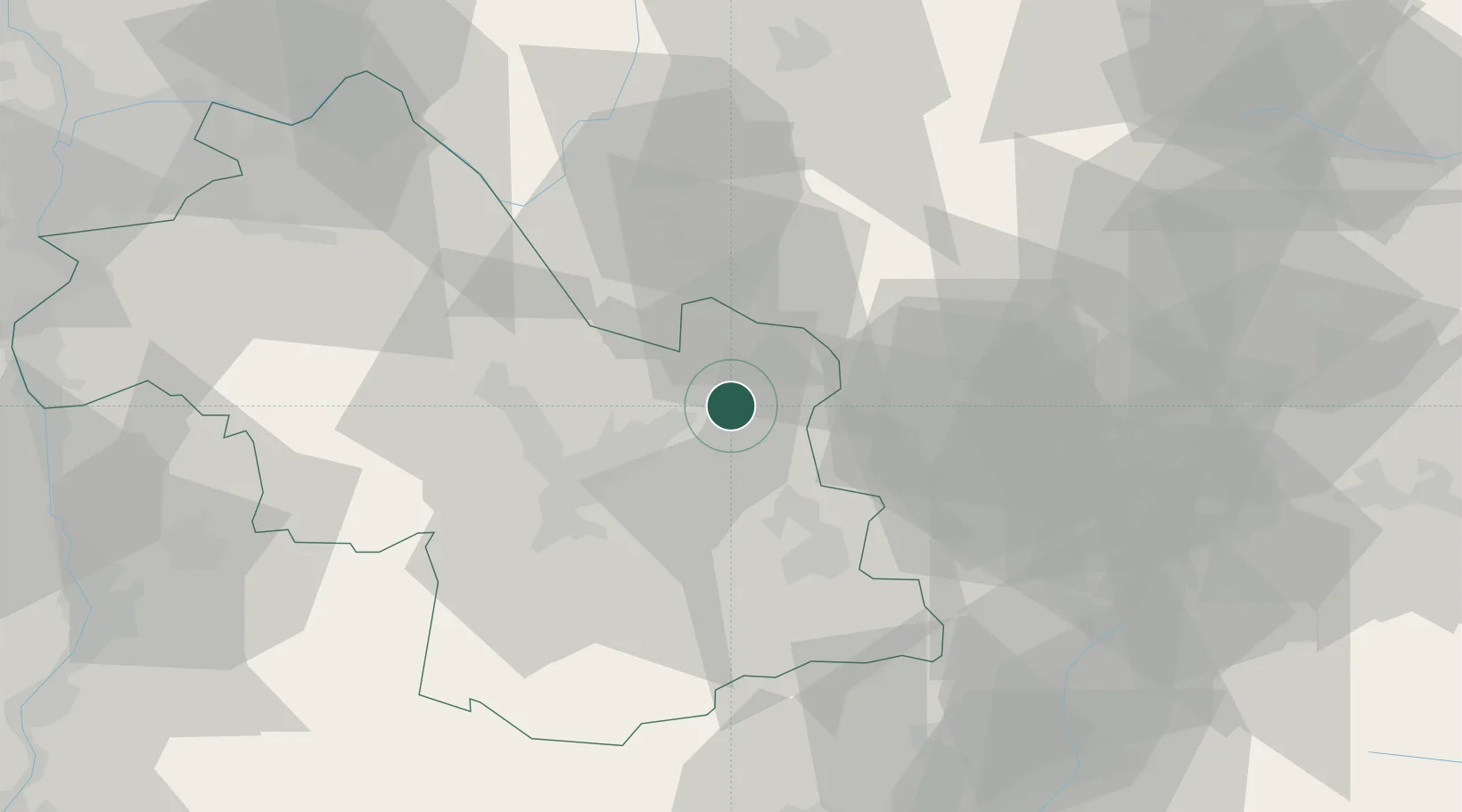
Hub Profile
Place type
Populated place
Region
Rhône-Alpes
Population
1,730
Time zone
Europe/Paris
Elevation
649 m
Location
Nearby Logistics Neighbours
Cities
- 1Les Adrets5 km
- 2Froges8 km
- 3Lancey13 km
- 4Saint-Ismier14 km
- 5Le Versoud15 km
Ports
- 1Nice205 km
- 2Villefranche206 km
- 3Monaco207 km
- 4Cannes211 km
- 5Antibes211 km
Airports
Trade Zones
- 1ZFU Grenoble28 km
- 2Aosta Valley79 km
- 3Port Franc de Geneve99 km
- 4Geneva Freeport, La Praille, Geneva99 km
- 5ZFU Vaulx-en-Velin100 km
DatabookThe Record of Consolidated Knowledge
France beyond logistics?