Transport Functions
Road
Multimodal
Hub Profile
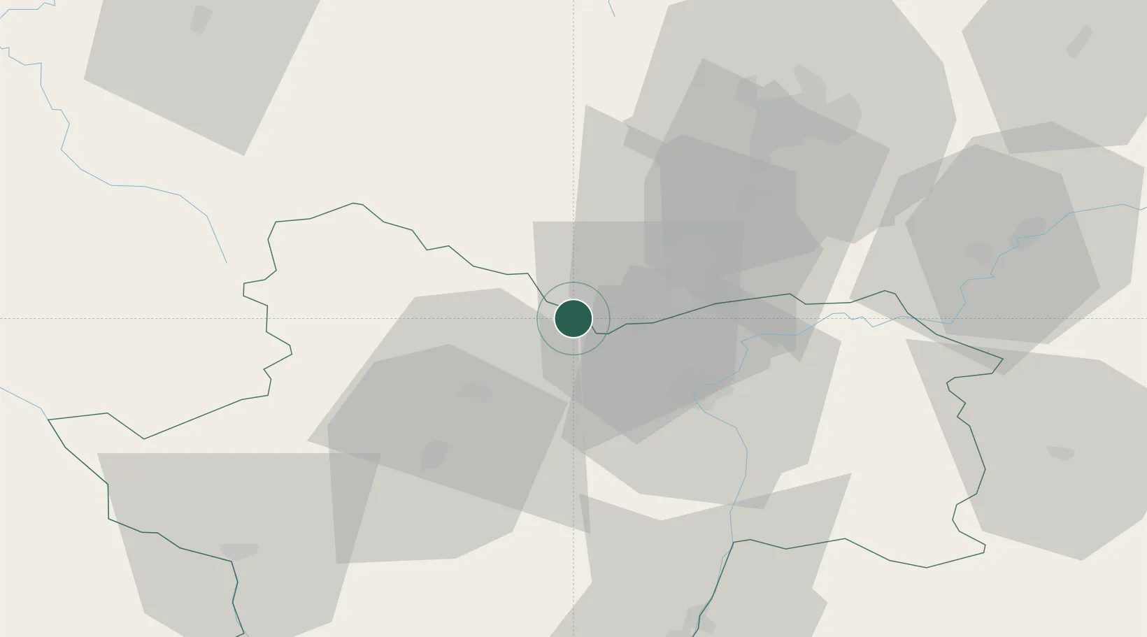
Place type
Populated place
Region
Bourgogne
Population
221
Time zone
Europe/Paris
Elevation
285 m
Location
Nearby Logistics Neighbours
Cities
- 1Paris-l'Hôpital2 km
- 2Dezize-lès-Maranges2 km
- 3Sampigny-lès-Maranges4 km
- 4Saint-Aubin5 km
- 5Saint-Gilles6 km
Ports
- 1Port Of Rouen385 km
- 2Fos392 km
- 3Port-de-Bouc394 km
- 4Port Saint Louis Du Rhone395 km
- 5Sete400 km
Airports
- 1Dijon Longvic airport51 km
- 2Dole Tavaux Airport61 km
- 3Mâcon-Charnay Airfield72 km
- 4Saint-Yan Airport75 km
- 5Roanne-Renaison Airport109 km
Trade Zones
- 1ZFU Chenôve48 km
- 2ZFU Besancon110 km
- 3ZFU Rillieux-la-Pape124 km
- 4ZFU Lyon 9e130 km
- 5ZFU Vaulx-en-Velin130 km
DatabookThe Record of Consolidated Knowledge
France beyond logistics?