UN/LOCODE hub · France
FRPNG

Paris-l'Hôpital

46.9167°, 4.6333°
2
Transport functions

Transport Functions

Road
Multimodal
UN/LOCODE

Hub Profile

Place type
Populated place
GeoNames
Region
Bourgogne
GeoNames
Time zone
Europe/Paris
GeoNames
Elevation
277 m
GeoNames

Location

Location of FRPNG
Natural Earth 10m (public domain) · Bourgogne · FRPNG · 46.92, 4.63GoogleOSMYandex

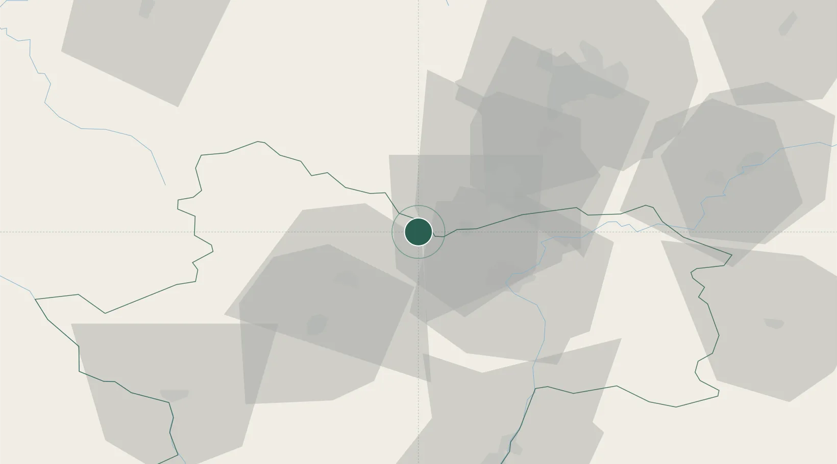
Nearby Logistics Neighbours

Cities
  1. 1Dezize-lès-Maranges1 km
  2. 2Change2 km
  3. 3Sampigny-lès-Maranges2 km
  4. 4Saint-Gilles5 km
  5. 5Saint-Aubin5 km
Nearest neighbours — logibook spatial index (haversine) over the source coordinates
Ports
  1. 1Port Of Rouen386 km
  2. 2Fos390 km
  3. 3Port-de-Bouc392 km
  4. 4Port Saint Louis Du Rhone393 km
  5. 5Sete398 km
Nearest neighbours — logibook spatial index (haversine) over the source coordinates
Airports
  1. 1Dijon Longvic airport52 km
  2. 2Dole Tavaux Airport62 km
  3. 3Mâcon-Charnay Airfield70 km
  4. 4Saint-Yan Airport73 km
  5. 5Roanne-Renaison Airport108 km
Nearest neighbours — logibook spatial index (haversine) over the source coordinates
Trade Zones
  1. 1ZFU Chenôve49 km
  2. 2ZFU Besancon110 km
  3. 3ZFU Rillieux-la-Pape122 km
  4. 4ZFU Lyon 9e128 km
  5. 5ZFU Vaulx-en-Velin128 km
Nearest neighbours — logibook spatial index (haversine) over the source coordinates
DatabookThe Record of Consolidated Knowledge
France beyond logistics?
Browse databook

All Sources

LocationsUN/LOCODE
UN/LOCODE — free
Portsthe NGA World Port Index
Public domain (US gov)
AirportsOurAirports
Public domain
Trade Zonesthe World Bank SEZ database
CC BY 4.0
Trade ZonesOpen Zone Map
CC BY
← France locations