Transport Functions
Road
Multimodal
Hub Profile
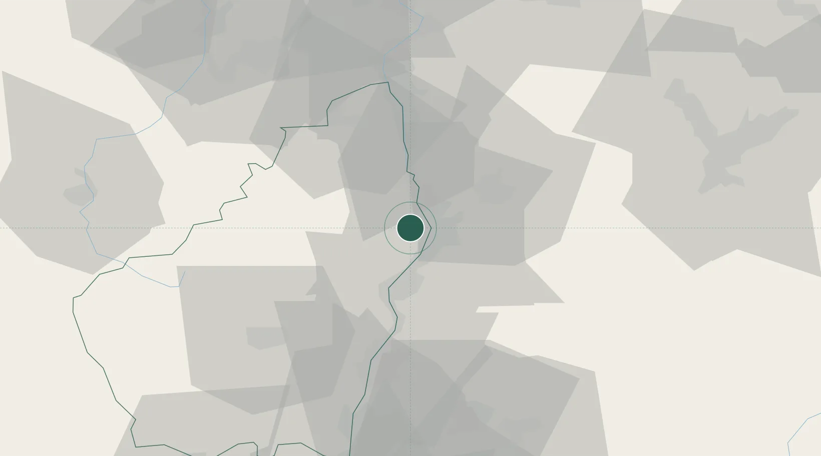
Place type
Populated place
Region
Rhône-Alpes
Population
6,922
Time zone
Europe/Paris
Elevation
133 m
Location
Nearby Logistics Neighbours
Cities
- 1Guilherand-Granges3 km
- 2Bourg-lès-Valence4 km
- 3Châteaubourg6 km
- 4Toulaud6 km
- 5Pont-de-l'Isère7 km
Ports
- 1Fos171 km
- 2Port-de-Bouc173 km
- 3Port Saint Louis Du Rhone174 km
- 4Marseille187 km
- 5Sete195 km
Airports
Trade Zones
- 1ZFU Valence3 km
- 2ZFU Saint-Etienne68 km
- 3ZFU Grenoble71 km
- 4ZFU Vénissieux83 km
- 5ZFU Lyon 9e92 km
DatabookThe Record of Consolidated Knowledge
France beyond logistics?