Transport Functions
Port
Hub Profile
Place type
Populated place
Region
Rhône-Alpes
Time zone
Europe/Paris
Elevation
129 m
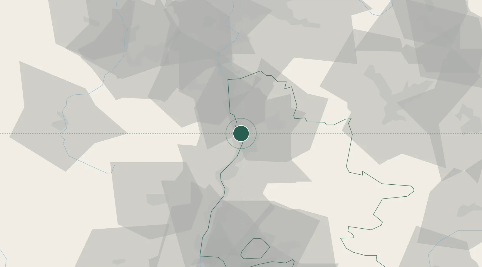
Location
Nearby Logistics Neighbours
Cities
- 1Châteaubourg3 km
- 2Beaumont-Monteux3 km
- 3Mauves5 km
- 4Bourg-lès-Valence6 km
- 5Tournon-sur-Rhône7 km
Ports
- 1Fos176 km
- 2Port-de-Bouc178 km
- 3Port Saint Louis Du Rhone180 km
- 4Marseille191 km
- 5Sete201 km
Airports
Trade Zones
- 1ZFU Valence9 km
- 2ZFU Grenoble66 km
- 3ZFU Saint-Etienne66 km
- 4ZFU Vénissieux78 km
- 5ZFU Lyon 9e86 km
DatabookThe Record of Consolidated Knowledge
France beyond logistics?