UN/LOCODE hub · France
FRBGV
Bourg-lès-Valence
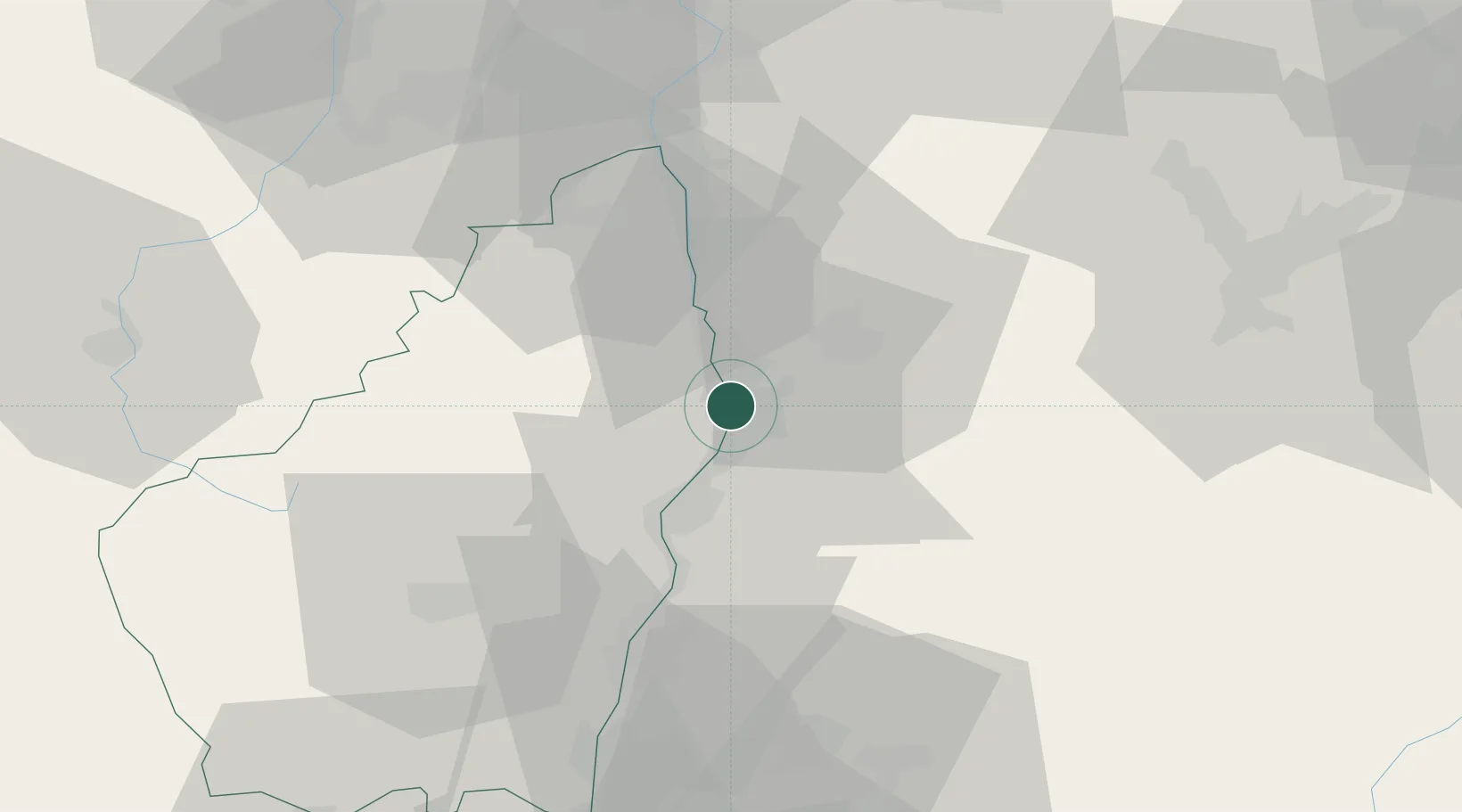
44.9500°, 4.8833°
19,770
Population
2
Transport functions
Transport Functions
Rail
Road
Hub Profile
Place type
Populated place
Region
Rhône-Alpes
Population
19,770
Time zone
Europe/Paris
Elevation
115 m
Location
Nearby Logistics Neighbours
Cities
- 1Guilherand-Granges2 km
- 2Saint-Péray4 km
- 3Pont-de-l'Isère6 km
- 4Châteaubourg6 km
- 5Toulaud8 km
Ports
- 1Fos171 km
- 2Port-de-Bouc173 km
- 3Port Saint Louis Du Rhone174 km
- 4Marseille186 km
- 5Sete197 km
Airports
Trade Zones
- 1ZFU Valence4 km
- 2ZFU Grenoble68 km
- 3ZFU Saint-Etienne70 km
- 4ZFU Vénissieux83 km
- 5ZFU Lyon 9e92 km
DatabookThe Record of Consolidated Knowledge
France beyond logistics?