UN/LOCODE hub · France
FRY2F

Toulaud

44.9000°, 4.8167°
1,579
Population
1
Transport functions

Transport Functions

Multimodal
UN/LOCODE

Hub Profile

Place type
Populated place
GeoNames
Region
Rhône-Alpes
GeoNames
Population
1,579
GeoNames
Time zone
Europe/Paris
GeoNames
Elevation
271 m
GeoNames

Location

Location of FRY2F
Natural Earth 10m (public domain) · Rhône-Alpes · FRY2F · 44.90, 4.82GoogleOSMYandex

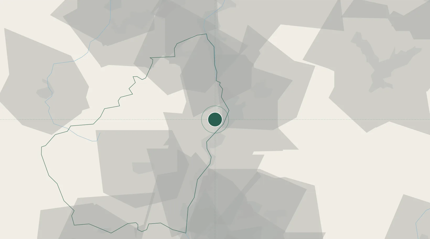
Nearby Logistics Neighbours

Cities
  1. 1Saint-Georges-les-Bains4 km
  2. 2Valence5 km
  3. 3Guilherand-Granges5 km
  4. 4Saint-Péray6 km
  5. 5Portes-lès-Valence6 km
Nearest neighbours — logibook spatial index (haversine) over the source coordinates
Ports
  1. 1Fos165 km
  2. 2Port-de-Bouc167 km
  3. 3Port Saint Louis Du Rhone169 km
  4. 4Marseille182 km
  5. 5Sete189 km
Nearest neighbours — logibook spatial index (haversine) over the source coordinates
Airports
  1. 1Valence-Chabeuil Airport12 km
  2. 2Aubenas-South Ardèche Airport53 km
  3. 3Grenoble Alpes Isère Airport65 km
  4. 4Saint-Étienne-Bouthéon Airport82 km
  5. 5Orange-Caritat (BA 115) Air Base85 km
Nearest neighbours — logibook spatial index (haversine) over the source coordinates
Trade Zones
  1. 1ZFU Valence4 km
  2. 2ZFU Saint-Etienne71 km
  3. 3ZFU Grenoble75 km
  4. 4ZFU Vénissieux89 km
  5. 5ZFU Lyon 9e97 km
Nearest neighbours — logibook spatial index (haversine) over the source coordinates
DatabookThe Record of Consolidated Knowledge
France beyond logistics?
Browse databook

All Sources

LocationsUN/LOCODE
UN/LOCODE — free
LocationsGeoNames
CC BY 4.0
Portsthe NGA World Port Index
Public domain (US gov)
AirportsOurAirports
Public domain
Trade Zonesthe World Bank SEZ database
CC BY 4.0
Trade ZonesOpen Zone Map
CC BY
← France locations