UN/LOCODE hub · France
FRSXZ

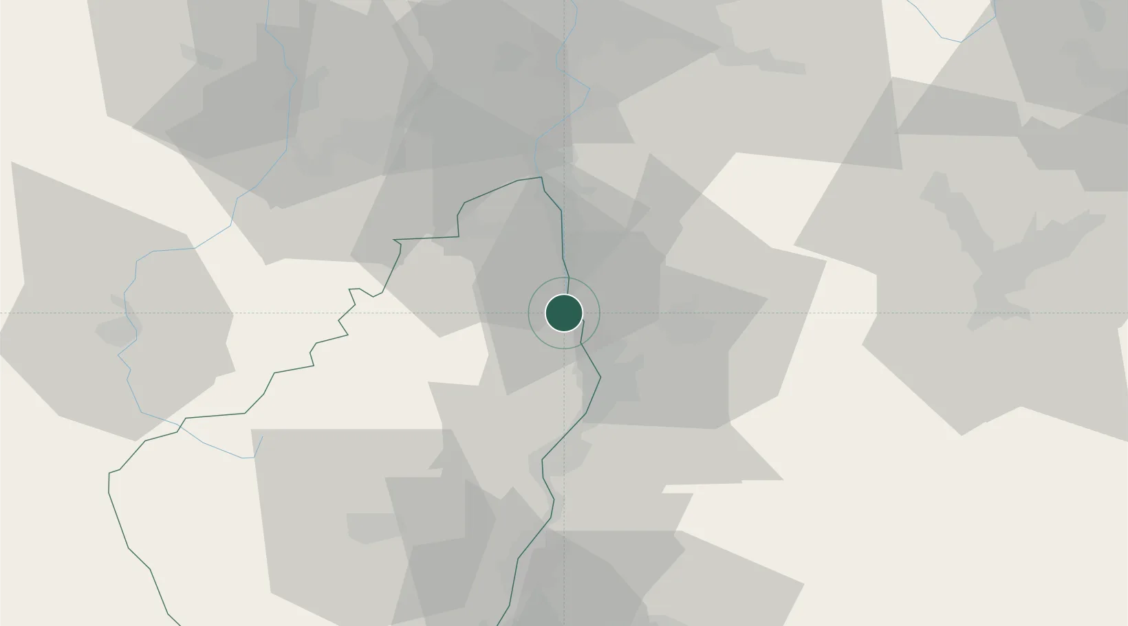
Saint-Jean-de-Muzols

45.0833°, 4.8167°
2,527
Population
2
Transport functions

Transport Functions

Rail
Road
UN/LOCODE

Hub Profile

Place type
Populated place
GeoNames
Region
Rhône-Alpes
GeoNames
Population
2,527
GeoNames
Time zone
Europe/Paris
GeoNames
Elevation
133 m
GeoNames

Location

Location of FRSXZ
Natural Earth 10m (public domain) · Rhône-Alpes · FRSXZ · 45.08, 4.82GoogleOSMYandex

Nearby Logistics Neighbours

Cities
  1. 1Érôme4 km
  2. 2Larnage4 km
  3. 3Tournon-sur-Rhône4 km
  4. 4Arras-sur-Rhône6 km
  5. 5Mauves6 km
Nearest neighbours — logibook spatial index (haversine) over the source coordinates
Ports
  1. 1Fos185 km
  2. 2Port-de-Bouc188 km
  3. 3Port Saint Louis Du Rhone189 km
  4. 4Marseille201 km
  5. 5Sete207 km
Nearest neighbours — logibook spatial index (haversine) over the source coordinates
Airports
  1. 1Valence-Chabeuil Airport22 km
  2. 2Grenoble Alpes Isère Airport51 km
  3. 3Saint-Étienne-Bouthéon Airport65 km
  4. 4Aubenas-South Ardèche Airport69 km
  5. 5Lyon Bron Airport72 km
Nearest neighbours — logibook spatial index (haversine) over the source coordinates
Trade Zones
  1. 1ZFU Valence18 km
  2. 2ZFU Saint-Etienne56 km
  3. 3ZFU Vénissieux68 km
  4. 4ZFU Grenoble69 km
  5. 5ZFU Lyon 9e77 km
Nearest neighbours — logibook spatial index (haversine) over the source coordinates
DatabookThe Record of Consolidated Knowledge
France beyond logistics?
Browse databook

All Sources

LocationsUN/LOCODE
UN/LOCODE — free
LocationsGeoNames
CC BY 4.0
Portsthe NGA World Port Index
Public domain (US gov)
AirportsOurAirports
Public domain
Trade Zonesthe World Bank SEZ database
CC BY 4.0
Trade ZonesOpen Zone Map
CC BY
← France locations