Transport Functions
Port
Multimodal
Hub Profile
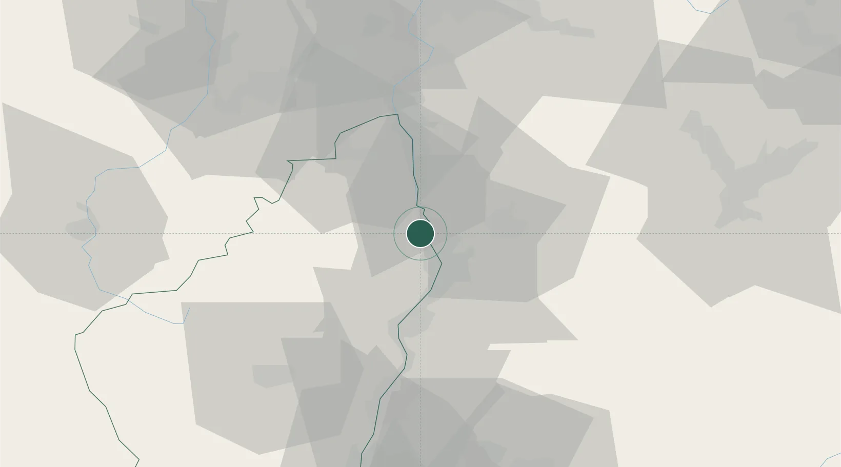
Place type
Populated place
Region
Rhône-Alpes
Population
1,113
Time zone
Europe/Paris
Elevation
121 m
Location
Nearby Logistics Neighbours
Cities
- 1Tournon-sur-Rhône2 km
- 2Châteaubourg4 km
- 3Pont-de-l'Isère5 km
- 4Saint-Jean-de-Muzols6 km
- 5Larnage6 km
Ports
- 1Fos180 km
- 2Port-de-Bouc182 km
- 3Port Saint Louis Du Rhone184 km
- 4Marseille196 km
- 5Sete203 km
Airports
Trade Zones
- 1ZFU Valence12 km
- 2ZFU Saint-Etienne61 km
- 3ZFU Grenoble69 km
- 4ZFU Vénissieux74 km
- 5ZFU Lyon 9e82 km
DatabookThe Record of Consolidated Knowledge
France beyond logistics?