UN/LOCODE hub · France
FRTRO
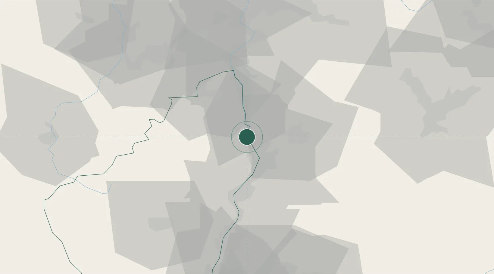
Tournon-sur-Rhône
45.0500°, 4.8333°
10,571
Population
2
Transport functions
Transport Functions
Rail
Road
Hub Profile
Place type
District seat
Region
Rhône-Alpes
Population
10,571
Time zone
Europe/Paris
Elevation
130 m
Location
Nearby Logistics Neighbours
Cities
- 1Mauves2 km
- 2Saint-Jean-de-Muzols4 km
- 3Larnage5 km
- 4Châteaubourg6 km
- 5Chanos-Curson7 km
Ports
- 1Fos182 km
- 2Port-de-Bouc184 km
- 3Port Saint Louis Du Rhone185 km
- 4Marseille197 km
- 5Sete205 km
Airports
Trade Zones
- 1ZFU Valence14 km
- 2ZFU Saint-Etienne59 km
- 3ZFU Grenoble68 km
- 4ZFU Vénissieux72 km
- 5ZFU Lyon 9e81 km
DatabookThe Record of Consolidated Knowledge
France beyond logistics?