Transport Functions
Multimodal
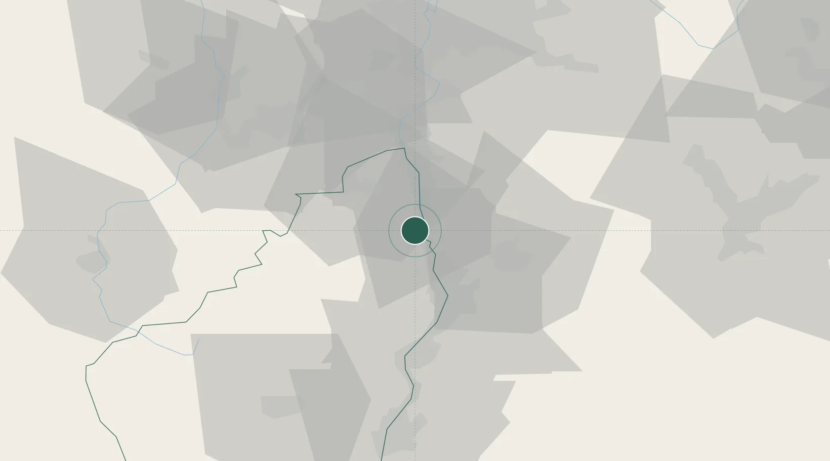
Hub Profile
Place type
Populated place
Region
Rhône-Alpes
Population
466
Time zone
Europe/Paris
Elevation
131 m
Location
Nearby Logistics Neighbours
Cities
- 1Érôme2 km
- 2Saint-Vallier4 km
- 3Cheminas4 km
- 4Sarras6 km
- 5Saint-Jean-de-Muzols6 km
Ports
- 1Fos191 km
- 2Port-de-Bouc193 km
- 3Port Saint Louis Du Rhone195 km
- 4Marseille207 km
- 5Sete212 km
Airports
Trade Zones
- 1ZFU Valence24 km
- 2ZFU Saint-Etienne51 km
- 3ZFU Vénissieux63 km
- 4ZFU Grenoble69 km
- 5ZFU Lyon 9e71 km
DatabookThe Record of Consolidated Knowledge
France beyond logistics?