Transport Functions
Port
Multimodal
Hub Profile
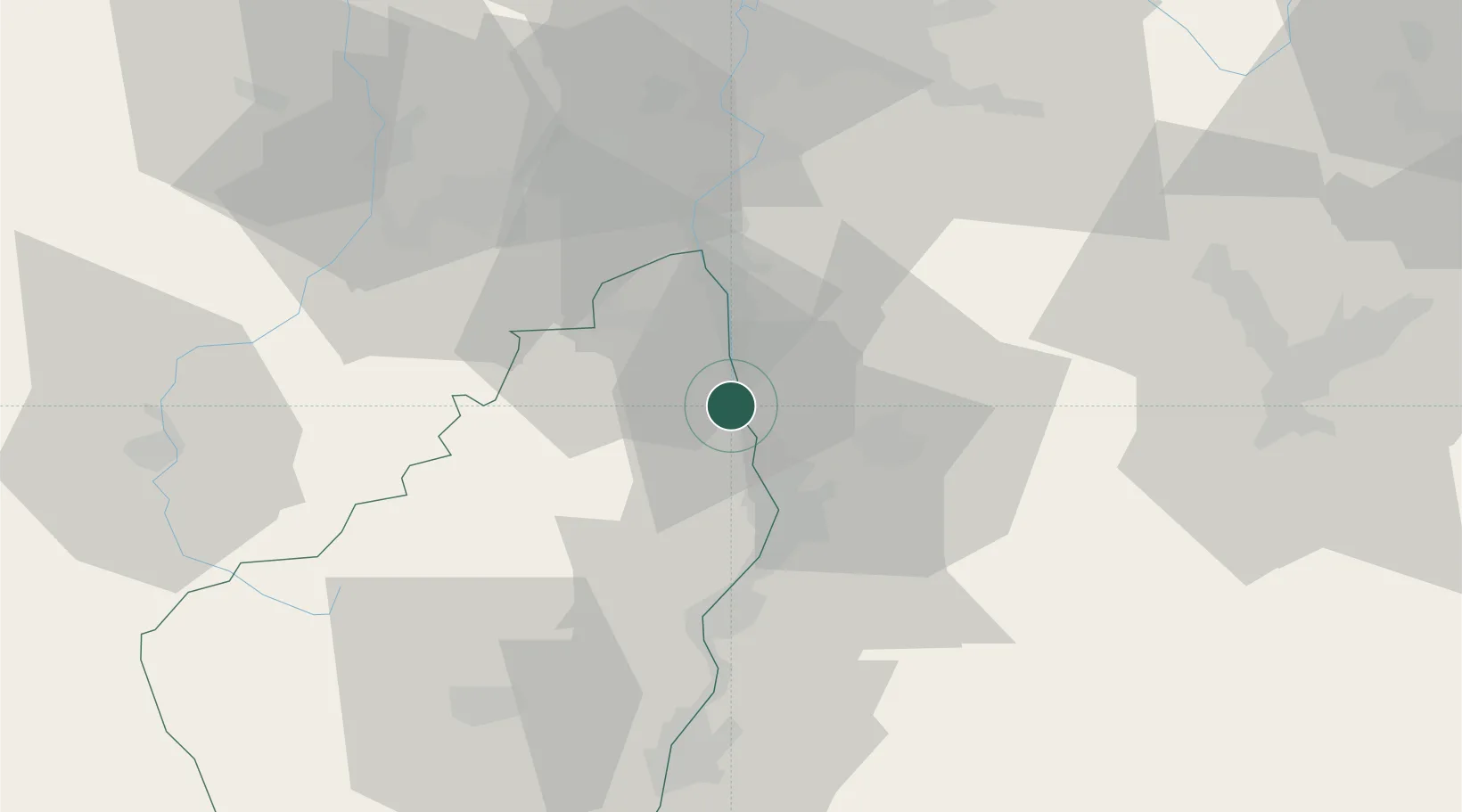
Place type
Populated place
Region
Rhône-Alpes
Population
736
Time zone
Europe/Paris
Elevation
139 m
Location
Nearby Logistics Neighbours
Cities
- 1Arras-sur-Rhône2 km
- 2Saint-Jean-de-Muzols4 km
- 3Cheminas5 km
- 4Larnage5 km
- 5Saint-Vallier6 km
Ports
- 1Fos189 km
- 2Port-de-Bouc191 km
- 3Port Saint Louis Du Rhone193 km
- 4Marseille205 km
- 5Sete211 km
Airports
Trade Zones
- 1ZFU Valence22 km
- 2ZFU Saint-Etienne53 km
- 3ZFU Vénissieux65 km
- 4ZFU Grenoble68 km
- 5ZFU Lyon 9e73 km
DatabookThe Record of Consolidated Knowledge
France beyond logistics?