Transport Functions
Multimodal
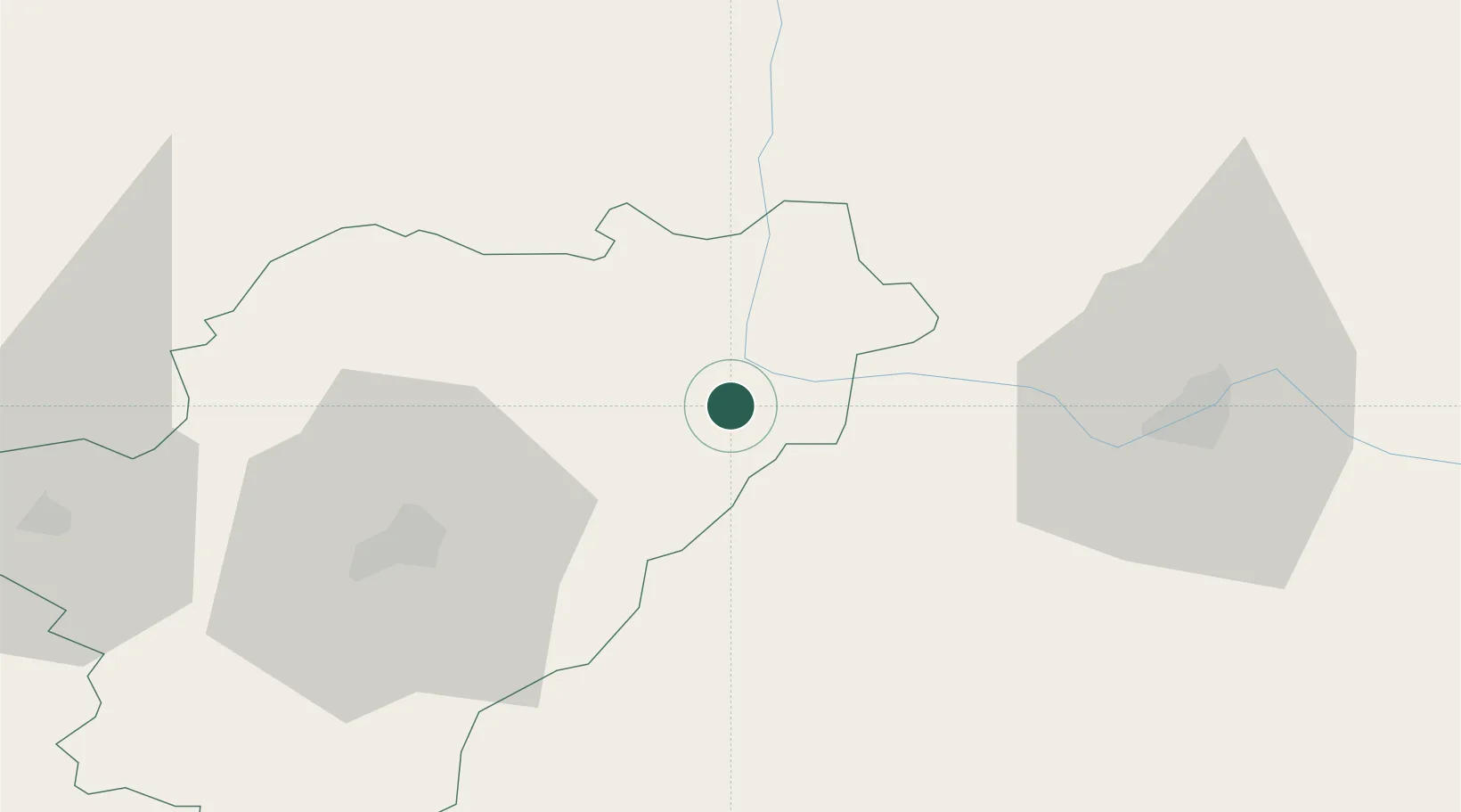
Hub Profile
Place type
Populated place
Region
Nouvelle-Aquitaine
Population
276
Time zone
Europe/Paris
Elevation
204 m
Location
Nearby Logistics Neighbours
Cities
- 1Genouillac5 km
- 2Mazieres6 km
- 3Chabanais7 km
- 4Fontafie8 km
- 5Cogny15 km
Ports
- 1Tonnay Charente119 km
- 2Rochefort123 km
- 3Blaye129 km
- 4Pauillac130 km
- 5Ambes130 km
Airports
Trade Zones
- 1Port de Bordeaux139 km
- 2ZFU La Rochelle147 km
- 3ZFU Hauts de Garonne148 km
- 4ZFU Bourges188 km
- 5ZFU Clermont-Ferrand190 km
DatabookThe Record of Consolidated Knowledge
France beyond logistics?