Transport Functions
Port
Hub Profile
Place type
Populated place
Region
Provence-Alpes-Côte d'Azur
Population
5,939
Time zone
Europe/Paris
Elevation
15 m
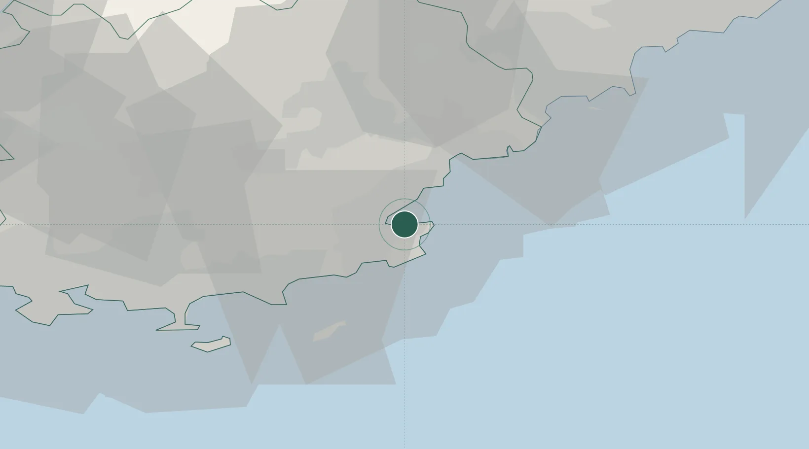
Location
Nearby Logistics Neighbours
Cities
- 1Port-Grimaud4 km
- 2Le Plan-de-la-Tour10 km
- 3Roquebrune-sur-Argens19 km
- 4Saint-Raphaël20 km
- 5Les Mayons22 km
Ports
- 1Saint-Raphael20 km
- 2Cannes44 km
- 3Antibes54 km
- 4Toulon61 km
- 5Nice71 km
Airports
- 1La Môle Airport14 km
- 2Le Luc-Le Cannet Airfield24 km
- 3Cannes Mandelieu Airport41 km
- 4Toulon-Hyères Airport44 km
- 5Cannes Croisette Heliport44 km
Trade Zones
- 1ZFU Toulon59 km
- 2ZFU La Seyne-sur-Mer67 km
- 3ZFU LAriane75 km
- 4ZFU Marseille 15e et 16e103 km
- 5ZFU Saint-Barthélémy, Le Canet, Delorme-Paternelle113 km
DatabookThe Record of Consolidated Knowledge
France beyond logistics?