Transport Functions
Road
Multimodal
Hub Profile
Place type
Locality
Region
Provence-Alpes-Côte d'Azur
Time zone
Europe/Paris
Elevation
3 m
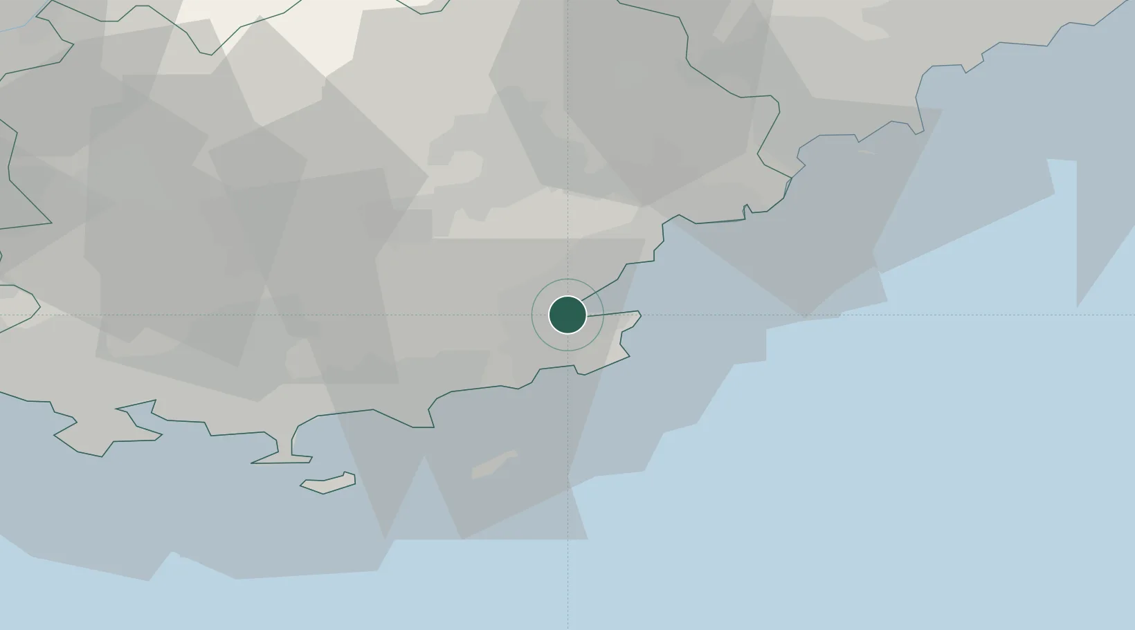
Location
Nearby Logistics Neighbours
Cities
- 1Saint-Tropez4 km
- 2Le Plan-de-la-Tour8 km
- 3Les Mayons18 km
- 4Roquebrune-sur-Argens19 km
- 5Vidauban22 km
Ports
- 1Saint-Tropez4 km
- 2Saint-Raphael22 km
- 3Cannes47 km
- 4Antibes57 km
- 5Toulon57 km
Airports
- 1La Môle Airport11 km
- 2Le Luc-Le Cannet Airfield21 km
- 3Toulon-Hyères Airport40 km
- 4Cannes Mandelieu Airport43 km
- 5Cannes Croisette Heliport47 km
Trade Zones
- 1ZFU Toulon55 km
- 2ZFU La Seyne-sur-Mer63 km
- 3ZFU LAriane78 km
- 4ZFU Marseille 15e et 16e99 km
- 5ZFU Saint-Barthélémy, Le Canet, Delorme-Paternelle109 km
DatabookThe Record of Consolidated Knowledge
France beyond logistics?