UN/LOCODE hub · France
FRPT8
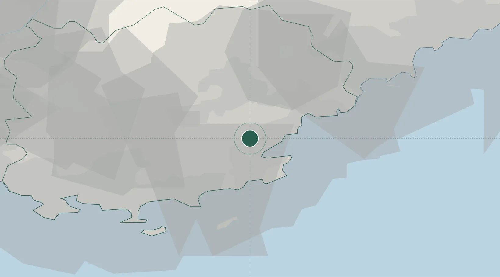
Le Plan-de-la-Tour
43.3333°, 6.5500°
2,558
Population
2
Transport functions
Transport Functions
Road
Multimodal
Hub Profile
Place type
Populated place
Region
Provence-Alpes-Côte d'Azur
Population
2,558
Time zone
Europe/Paris
Elevation
66 m
Location
Nearby Logistics Neighbours
Cities
- 1Port-Grimaud8 km
- 2Saint-Tropez10 km
- 3Roquebrune-sur-Argens13 km
- 4Vidauban15 km
- 5Le Muy15 km
Ports
- 1Saint-Tropez10 km
- 2Saint-Raphael20 km
- 3Cannes45 km
- 4Antibes55 km
- 5Toulon58 km
Airports
- 1Le Luc-Le Cannet Airfield14 km
- 2La Môle Airport15 km
- 3Cannes Mandelieu Airport41 km
- 4Toulon-Hyères Airport42 km
- 5Cannes Croisette Heliport45 km
Trade Zones
- 1ZFU Toulon55 km
- 2ZFU La Seyne-sur-Mer64 km
- 3ZFU LAriane75 km
- 4ZFU Marseille 15e et 16e96 km
- 5ZFU Saint-Barthélémy, Le Canet, Delorme-Paternelle106 km
DatabookThe Record of Consolidated Knowledge
France beyond logistics?