UN/LOCODE hub · France
FRSP8

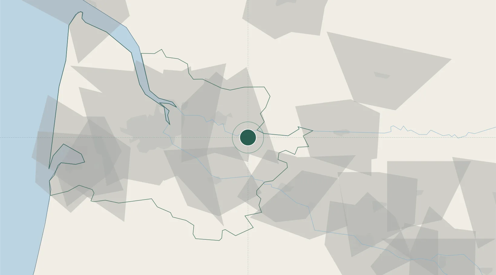
Saint-Pey-de-Castets

44.8167°, -0.0667°
664
Population
2
Transport functions

Transport Functions

Road
Multimodal
UN/LOCODE

Hub Profile

Place type
Populated place
GeoNames
Region
Nouvelle-Aquitaine
GeoNames
Population
664
GeoNames
Time zone
Europe/Paris
GeoNames
Elevation
12 m
GeoNames

Location

Location of FRSP8
Natural Earth 10m (public domain) · Nouvelle-Aquitaine · FRSP8 · 44.82, -0.07GoogleOSMYandex

Nearby Logistics Neighbours

Cities
  1. 1Civrac-sur-Dordogne2 km
  2. 2Castillon-la-Bataille4 km
  3. 3Rauzan5 km
  4. 4Saint-Magne-de-Castillon6 km
  5. 5Ruch6 km
Nearest neighbours — logibook spatial index (haversine) over the source coordinates
Ports
  1. 1Bordeaux40 km
  2. 2Ambes43 km
  3. 3Blaye59 km
  4. 4Pauillac69 km
  5. 5Le Verdon112 km
Nearest neighbours — logibook spatial index (haversine) over the source coordinates
Airports
  1. 1Bergerac Dordogne-Périgord airport46 km
  2. 2Bordeaux–Mérignac Airport51 km
  3. 3Périgueux-Bassillac Airport81 km
  4. 4Aérodrome d'Arcachon-La Teste-de-Buch86 km
  5. 5Agen La Garenne airport89 km
Nearest neighbours — logibook spatial index (haversine) over the source coordinates
Trade Zones
  1. 1Port de Bordeaux38 km
  2. 2ZFU Hauts de Garonne40 km
  3. 3ZFU La Rochelle174 km
  4. 4ZFU Toulouse181 km
  5. 5Depósito Franco de Pasajes (Guipúzcoa)223 km
Nearest neighbours — logibook spatial index (haversine) over the source coordinates
DatabookThe Record of Consolidated Knowledge
France beyond logistics?
Browse databook

All Sources

LocationsUN/LOCODE
UN/LOCODE — free
LocationsGeoNames
CC BY 4.0
Portsthe NGA World Port Index
Public domain (US gov)
AirportsOurAirports
Public domain
Trade Zonesthe World Bank SEZ database
CC BY 4.0
Trade ZonesOpen Zone Map
CC BY
← France locations