Transport Functions
Road
Multimodal
Hub Profile
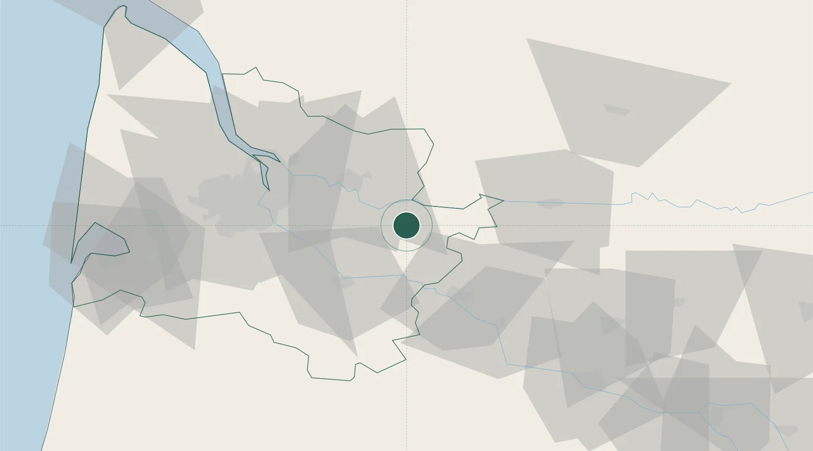
Place type
Populated place
Region
Nouvelle-Aquitaine
Population
544
Time zone
Europe/Paris
Elevation
77 m
Location
Nearby Logistics Neighbours
Cities
- 1Blasimon3 km
- 2Saint-Antoine-du-Queyret4 km
- 3Saint-Pey-de-Castets6 km
- 4Cocumont6 km
- 5Rauzan7 km
Airports
Trade Zones
- 1Port de Bordeaux43 km
- 2ZFU Hauts de Garonne44 km
- 3ZFU Toulouse175 km
- 4ZFU La Rochelle180 km
- 5Depósito Franco de Pasajes (Guipúzcoa)221 km
DatabookThe Record of Consolidated Knowledge
France beyond logistics?