UN/LOCODE hub · France
FRKJH

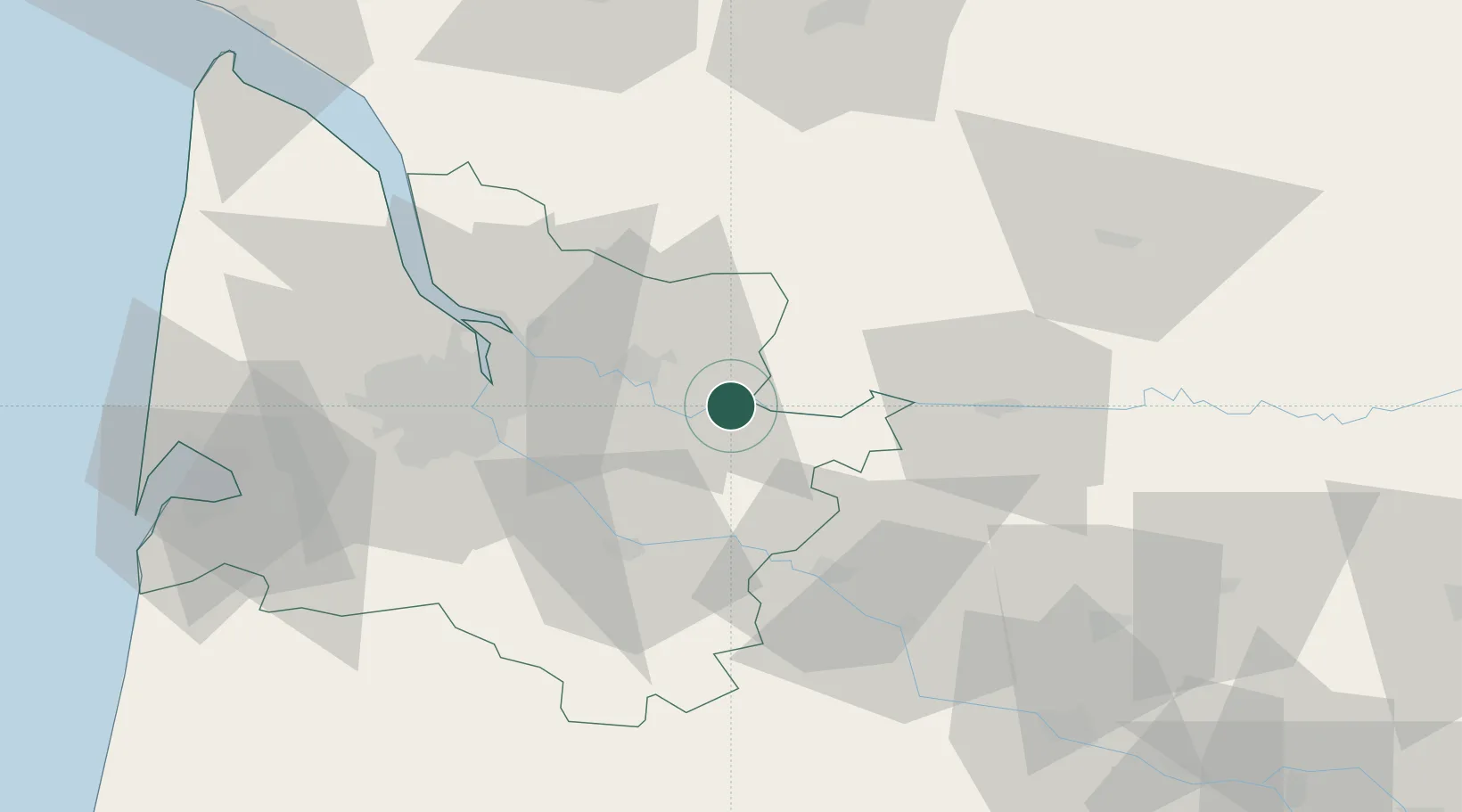
Castillon-la-Bataille

44.8500°, -0.0500°
3,203
Population
2
Transport functions

Transport Functions

Road
Multimodal
UN/LOCODE

Hub Profile

Place type
Populated place
GeoNames
Region
Nouvelle-Aquitaine
GeoNames
Population
3,203
GeoNames
Time zone
Europe/Paris
GeoNames
Elevation
23 m
GeoNames

Location

Location of FRKJH
Natural Earth 10m (public domain) · Nouvelle-Aquitaine · FRKJH · 44.85, -0.05GoogleOSMYandex

Nearby Logistics Neighbours

Cities
  1. 1Saint-Magne-de-Castillon2 km
  2. 2Civrac-sur-Dordogne3 km
  3. 3Sainte-Colombe4 km
  4. 4Saint-Pey-de-Castets4 km
  5. 5Saint-Michel-de-Montaigne5 km
Nearest neighbours — logibook spatial index (haversine) over the source coordinates
Ports
  1. 1Bordeaux41 km
  2. 2Ambes42 km
  3. 3Blaye58 km
  4. 4Pauillac67 km
  5. 5Le Verdon110 km
Nearest neighbours — logibook spatial index (haversine) over the source coordinates
Airports
  1. 1Bergerac Dordogne-Périgord airport45 km
  2. 2Bordeaux–Mérignac Airport53 km
  3. 3Périgueux-Bassillac Airport78 km
  4. 4Aérodrome d'Arcachon-La Teste-de-Buch88 km
  5. 5Agen La Garenne airport91 km
Nearest neighbours — logibook spatial index (haversine) over the source coordinates
Trade Zones
  1. 1Port de Bordeaux39 km
  2. 2ZFU Hauts de Garonne42 km
  3. 3ZFU La Rochelle172 km
  4. 4ZFU Toulouse183 km
  5. 5Depósito Franco de Pasajes (Guipúzcoa)226 km
Nearest neighbours — logibook spatial index (haversine) over the source coordinates
DatabookThe Record of Consolidated Knowledge
France beyond logistics?
Browse databook

All Sources

LocationsUN/LOCODE
UN/LOCODE — free
LocationsGeoNames
CC BY 4.0
Portsthe NGA World Port Index
Public domain (US gov)
AirportsOurAirports
Public domain
Trade Zonesthe World Bank SEZ database
CC BY 4.0
Trade ZonesOpen Zone Map
CC BY
← France locations